

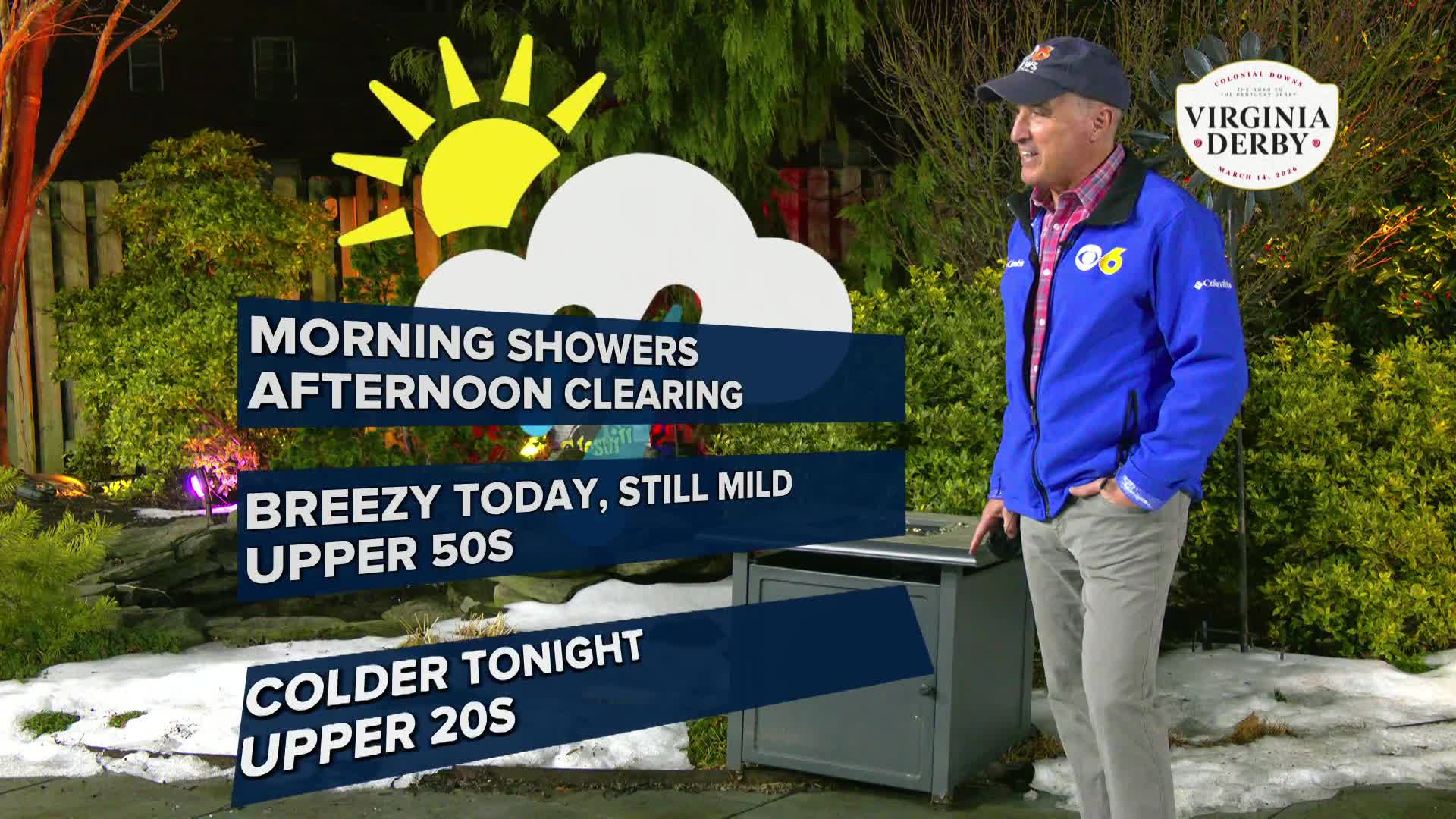

RICHMOND, Va. -- Clouds will eventually decrease Wednesday with mild, but breezy conditions. Highs will be in the upper 50s. Tonight will be colder with lows in the upper 20s. Thursday and Friday will be dry and cooler with highs in the mid and upper 40s.
Seasonably cool and dry weather is expected Saturday. A strong storm system will bring rain to the area Sunday. Rainfall totals over half an inch will be possible in central Virginia by Monday.
Mild weather returns to the area early next week.
Stay With CBS 6, The Weather Authority.
STORM TRACKING LINKS:
Weather Alerts
Closings & Delays
Interactive Radar
Map Center
📱 Download the new and improved CBS 6 Weather App for iPhone and Android.

WTVR


