

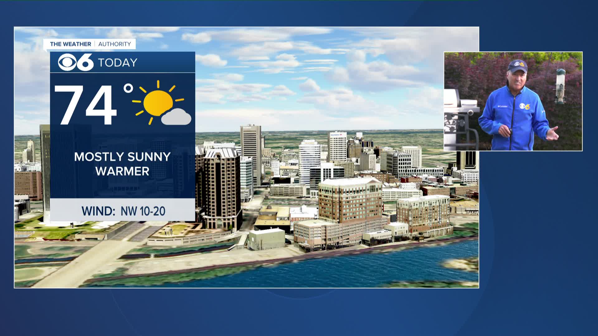

RICHMOND, Va. -- Friday will be a beautiful spring day with a cool start and a warm afternoon. Highs will reach the low to mid 70s.
A ridge of high pressure will develop over the region this weekend resulting in several days of unusually hot weather. Highs will reach the mid 80s Saturday and low 90s Sunday through Wednesday
A few showers and storms will be possible Monday afternoon but widespread rain is not expected.
A better chance for showers and storms will come next Wednesday into Thursday as a cold front interacts with a hot and humid air mass in place over central Virginia.
Milder weather will return to the Commonwealth late next week.
Stay With CBS 6, The Weather Authority.
STORM TRACKING LINKS:
Weather Alerts
Closings & Delays
Interactive Radar
Map Center
📱 Download the new and improved CBS 6 Weather App for iPhone and Android.


