

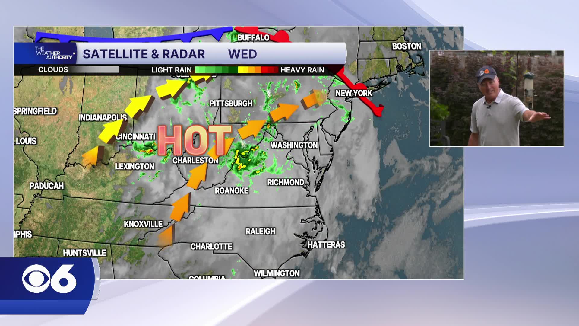

RICHMOND, Va. -- Humidity returns on Wednesday and temperatures climb into the mid and upper 80s. Showers will be possible through the morning, thunderstorms will be possible this afternoon after 2pm. There is a MARGINAL RISK (1/5) for a severe storm with damaging wind gusts
Thursday turns hot and more humid. Highs will reach the mid to upper 90s in many spots, with heat indices near 100°F. Afternoon pop-up thunderstorms may develop, though coverage will be spotty, although a SLIGHT RISK for a severe storm will be possible.
Friday is likely the hottest day of the stretch. Highs in the upper 90s, with heat indices between 100 and 105°F. Morning or midday showers and storms could temper the extreme heat in some areas, but most will still face muggy, uncomfortable conditions. Heat safety will be important for outdoor plans.
A cold front Saturday moves through early, but temperatures remain hot for much of the day. Highs will range from around 90 to the mid 90s inland, with coastal areas cooling into the mid to upper 80s. Scattered afternoon thunderstorms are possible, especially southeast of Richmond.
Sunday features highs in the low 90s with another round of late-day storms possible as the unsettled pattern continues.
Monday will be slightly cooler but with more clouds and rain ahead of the next front.
Stay With CBS 6, The Weather Authority.
STORM TRACKING LINKS:
Weather Alerts
Closings & Delays
Interactive Radar
Map Center
📱 Download the new and improved CBS 6 Weather App for iPhone and Android.


