


RICHMOND, Va. -- Tonight will turn more humid with scattered clouds and lows in the upper 60s to around 70.
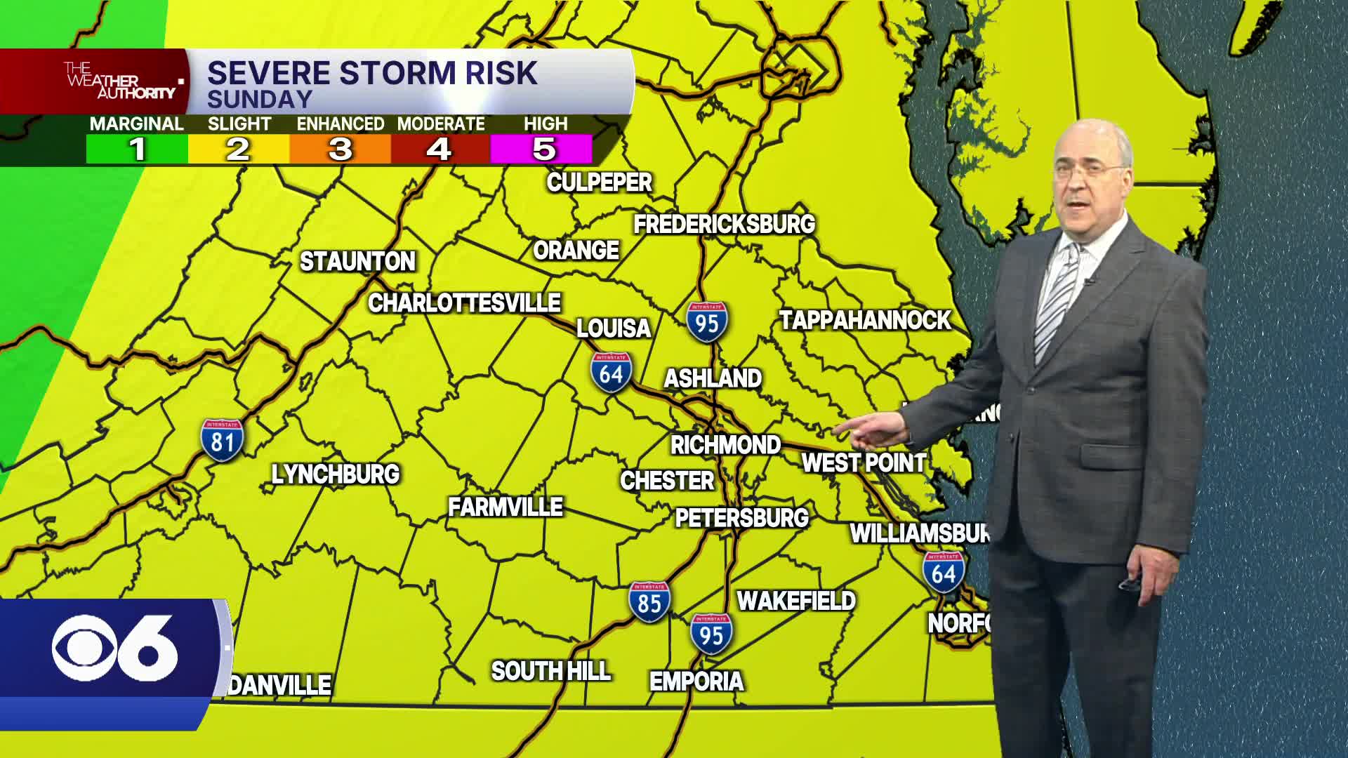
Sunday will be muggy and hotter with highs in the low to mid 90s. The morning will be mostly sunny. As a front approaches from the west during the afternoon, widely scattered storms will likely develop and continue into the early evening. As of now, we are under a slight risk (level 2 out of 5) for severe weather. The main threat will be damaging wind gusts, although a few storms may contain large hail and an isolated tornado cannot be ruled out.
It will turn cooler and less humid for the first half of the coming week. Highs will be in the low to mid 80s on Monday. A system to our south may be close enough to produce a few showers down in Hampton Roads into the Outer Banks, so be aware if you have travel plans that way.
Temperatures will be on the rise again by midweek, with highs in the upper 80s on Wednesday and the mid 90s on Thursday. A few storms are possible with the next front coming into the region late Thursday into Friday.
As of now, next weekend looks to be dry with highs in the 80s to around 90.
Stay With CBS 6, The Weather Authority.
STORM TRACKING LINKS:
Weather Alerts
Closings & Delays
Interactive Radar
Map Center
📱 Download the new and improved CBS 6 Weather App for iPhone and Android.


