

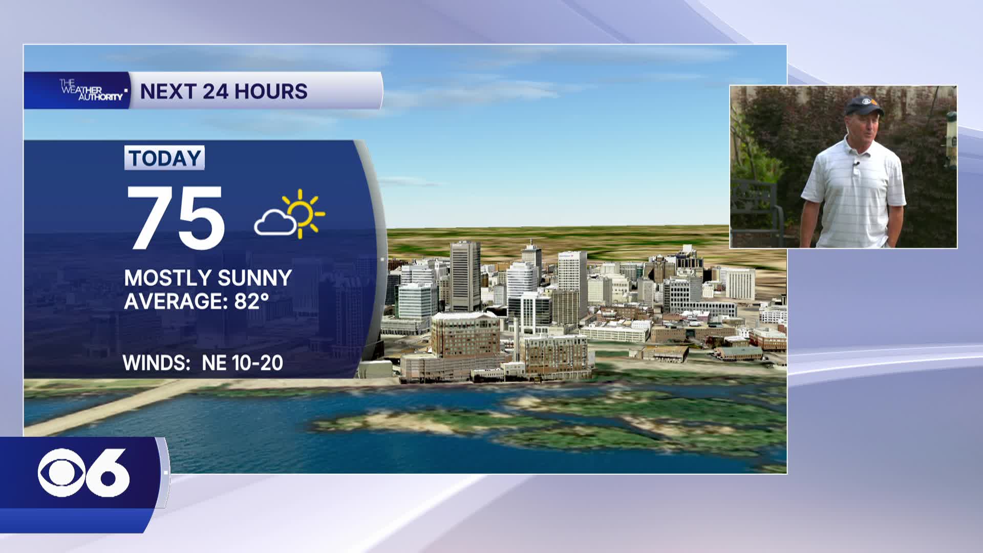

RICHMOND, Va. -- Tuesday will be a bit cooler, with highs in the low to mid 70s. We'll have mostly sunny skies and very low humidity for early June. Tonight will be clear and cool with lows in the upper 40s and lower 50s.
A gradual warming trend is on the way for the rest of the week. Highs will be in the mid and upper 70s Wednesday, but will rise into the low 80s Thursday and the upper 80s to near 90 on Friday.
The pattern will support dry weather for the rest of the work week. Saturday will also be dry, but there may be a couple of scattered showers and thunderstorms popping up on Sunday afternoon. We'll have a better chance for storms next Monday.
Hot and humid weather is expected for much of next week.
Stay With CBS 6, The Weather Authority.
STORM TRACKING LINKS:
Weather Alerts
Closings & Delays
Interactive Radar
Map Center
📱 Download the new and improved CBS 6 Weather App for iPhone and Android.


