


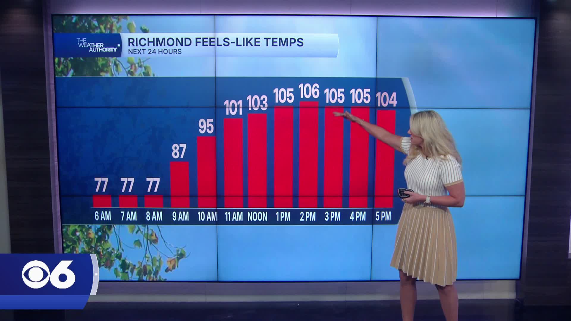

RICHMOND, Va. — Air quality gradually improves tonight as winds shift to the south overnight. There will still be some haze early Saturday, but the worst of the smoke clears out.
This weekend brings the return of dangerous heat and a growing threat for strong to severe thunderstorms.
Saturday will be the hottest day, with highs surging well into the 90s and heat index values between 105 and 108 degrees before storms develop.
A Slight Risk for severe storms is in effect Saturday evening with damaging wind gusts the primary threat.
Storms become more scattered on Sunday, but a few strong storms remain possible especially south of Richmond. Highs Sunday stay in the lower 90s with muggy conditions continuing.
The unsettled pattern lingers into Monday and Tuesday with additional scattered storms and heavy downpours possible.
A stronger cold front is expected to move through Wednesday, finally bringing some relief from the humidity later next week.
By Thursday, highs drop back into the mid and upper 80s with noticeably less humid air across Central Virginia.
In the tropics, an area of low pressure may develop in the northeastern Gulf this weekend, but chances for tropical development remain low. Another tropical wave off the coast of Africa also shows little sign of development over the next week.
And there is some good news on the drought situation as recent rainfall has helped improve conditions across Virginia, with areas from Richmond to the Tri-Cities no longer in moderate drought status.
Stay with CBS 6, The Weather Authority.

STORM TRACKING LINKS:
Weather Alerts
Closings & Delays
Interactive Radar
Map Center
📱 Download the new and improved CBS 6 Weather App for iPhone and Android.


