

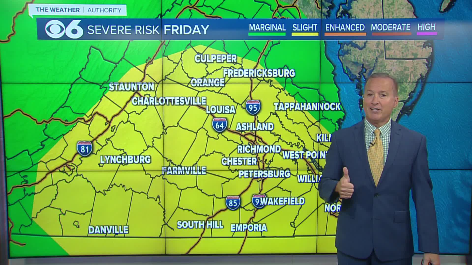

RICHMOND, Va. —Thunderstorms will be more numerous across the region Friday afternoon and evening. A slight risk for severe storms continues. Heavy rainfall amounts will occur with the storms, and more flooding will be possible. A flood watch has been issued for central and southeastern Virginia.

Highs Friday will be in the upper 80s and lower 90s, with a heat index near or a little above 100°.
More storms are expected Saturday afternoon and evening, with the potential for flooding.
Storms will turn more widely scattered for Sunday and early next week.
There will be a slight drop in the heat and humidity Monday into Tuesday. More 90s are expected later next week.
Stay With CBS 6, The Weather Authority.
STORM TRACKING LINKS:
Weather Alerts
Interactive Radar
Map Center
Hurricane Tracker
Closings & Delays

Local News
'Significant flooding' strands drivers across Central Virginia
📱 Download the CBS 6 Weather App for iPhone and Android.


