



RICHMOND, Va. -- Tonight will be variably cloudy, warm, and humid with a slight chance for an isolated shower.
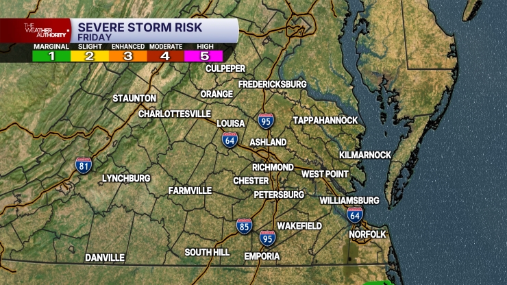
A cold front will approach the area on Saturday. This will produce more scattered storms in the afternoon and evening. Highs will be in the upper 80s and lower 90s. A marginal risk for storms will continue, as will the threat of heavy rainfall.
The front will push south of the region on Sunday, bringing in cooler temperatures and a decrease in humidity. Highs will be in the low to mid 80s. There will be a chance of some showers and storms, with the best chance for rain across southern Virginia.
Monday will be a lot less humid with highs in the low to mid 80s.
It will turn hotter and more humid the rest of the week. Highs will be around 90° Tuesday, and in the mid to upper 90s Wednesday through Friday.
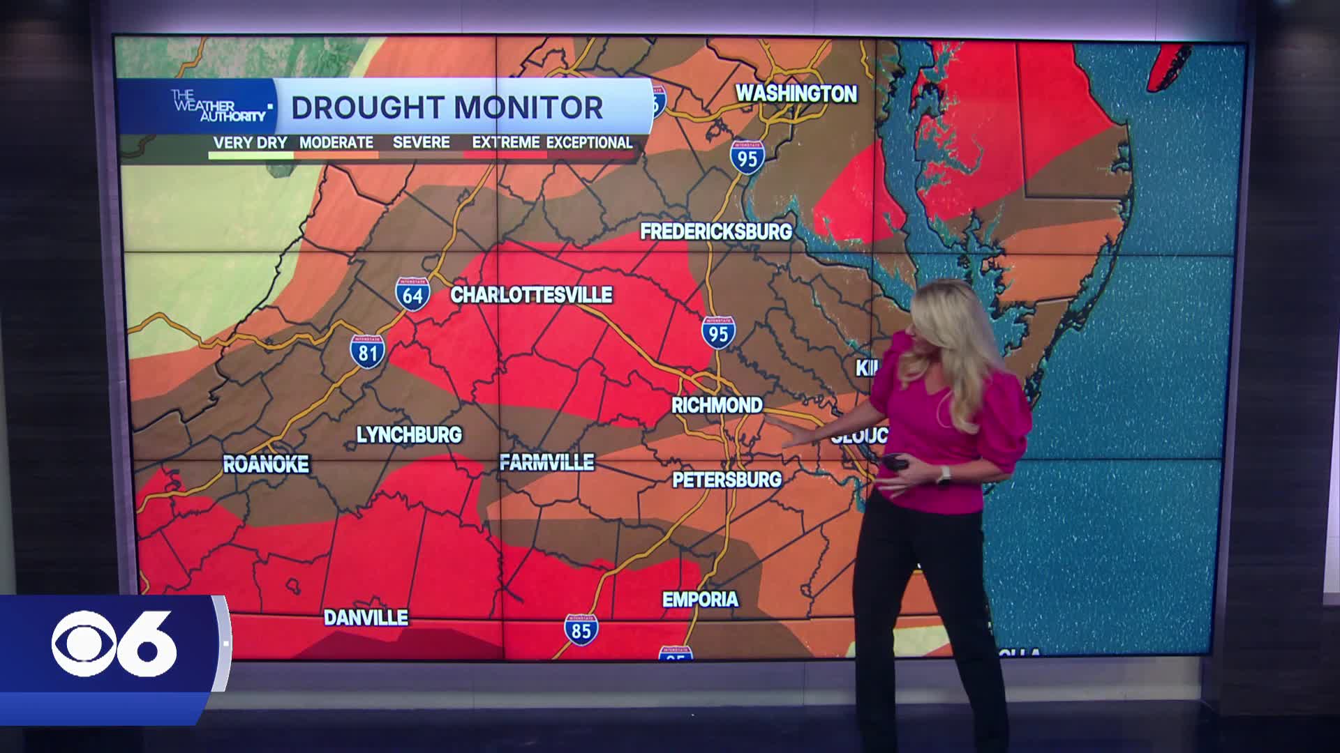
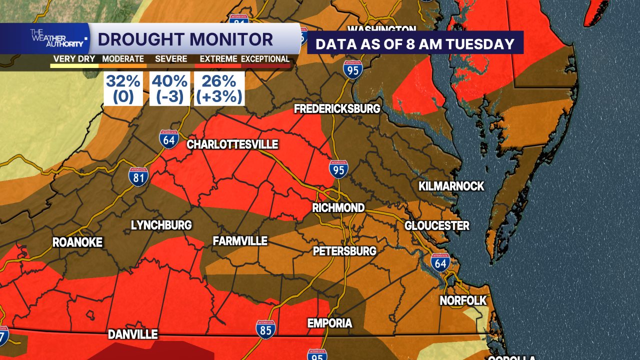
The updated drought monitor, which is based on data as of Tuesday morning, shows a severe to extreme drought continues for much of the region. The extreme drought area has increased slightly since last week.
Stay With CBS 6, The Weather Authority.
STORM TRACKING LINKS:
Weather Alerts
Closings & Delays
Interactive Radar
Map Center
📱 Download the new and improved CBS 6 Weather App for iPhone and Android.


