


RICHMOND, Va. --Wednesday will be sunny and seasonably cool with highs in the mid 40s. Tonight will not be as cold with lows falling into the low to mid 30s.
Thursday will be the mildest day with highs in the mid 50s. A very strong cold front will arrive Friday night bringing the coldest air of the season to the Commonwealth.
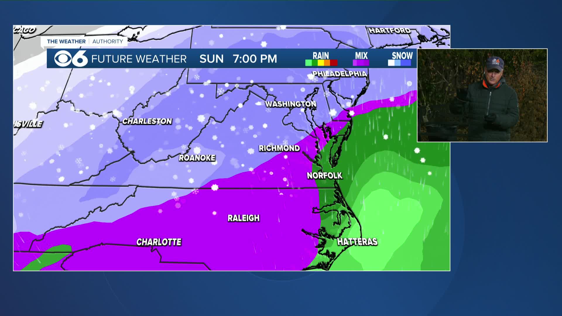
Snow will become likely by Saturday afternoon and evening as broad upper-level lift moves in from the southwest. Models show moderate to heavy snow across Central Virginia through the day causing hazardous travel.
Snow continues into early Sunday, possibly changing to sleet or freezing rain as far north as the Richmond Metro. Gradual tapering from west to east overnight. Temperatures will remain well below freezing throughout the event.
Temperatures could drop to near zero next Monday and Tuesday morning.
Stay With CBS 6, The Weather Authority.
STORM TRACKING LINKS:
Weather Alerts
Closings & Delays
Interactive Radar
Map Center
📱 Download the new and improved CBS 6 Weather App for iPhone and Android.


