
RICHMOND, Va. -- Showers will continue at times overnight, with areas of fog possible. Temperatures will hold in the 50s, lowering near 50 in the metro just after daybreak. Areas north and west will range from the upper 30s to the mid 40s.
We'll gradually dry out Sunday morning. Colder air will continue to surge southeast during the day, causing temperatures to lower into the 40s across the metro during the afternoon. We'll see a mix of sun and clouds, with winds gusting over 20 mph at times. We can't completely rule out a passing sprinkle or flurry, especially north of Richmond.
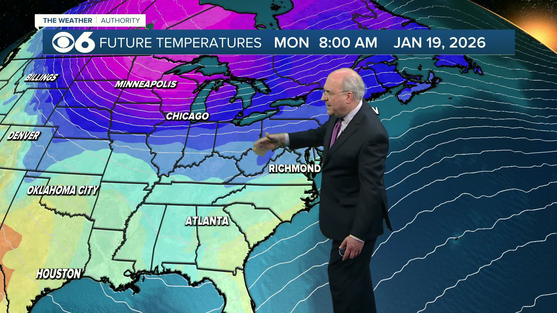
Sunday night will be cold with lows in the 20s. Monday will be mostly sunny with highs in the upper 40s. Temperatures will dip back into the 20s overnight.
We'll be a bit warmer Tuesday and Wednesday, with highs mainly in the mid 50s. Tuesday will be partly to mostly sunny, but skies will become mostly cloudy on Wednesday as another cold front arrives. There could be an area of low pressure developing along this front, producing some showers in the chilly air on Thursday. This could briefly turn to snow before ending Thursday evening. Confidence in this scenario remains relatively low, as drier air moving in from the northwest may push any precipitation away from us.
It will definitely be colder again to finish the week and begin the new weekend.
Stay With CBS 6, The Weather Authority.
STORM TRACKING LINKS:
Weather Alerts
Closings & Delays
Interactive Radar
Map Center
📱 Download the new and improved CBS 6 Weather App for iPhone and Android.