


RICHMOND, Va. -- Tonight will be mostly clear, although some clouds will arrive by daybreak. Overnight lows will be in the upper 30s and low 40s.
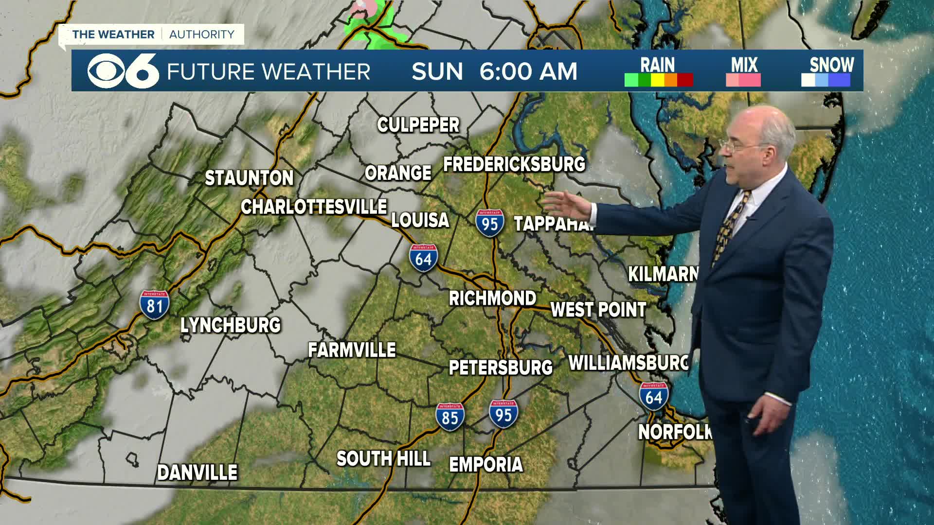
A cold front will move south through the region on Sunday, bringing some extra clouds and the slight chance for a shower or a few sprinkles with it. There will be a big range in temperatures. Highs north of I-64 will mostly be in the 50s and may dip into the 40s during the afternoon. Across the metro, from north to south, highs will range from the upper 50s to the mid 60s. Southside Virginia will potentially have highs in the 70s.
There continues to be the threat of some wintry precipitation late Monday into early Tuesday. This may start as some light snow or a mix by late Monday. Highs will be in the upper 30s to around 40. Precipitation may turn to freezing rain for a brief period Monday night into daybreak Tuesday, with the best chance north and northwest of Richmond. Temperatures will rise Tuesday morning, switching any precipitation to some showers. Due to the brief period of freezing rain, and temperatures rising, any impacts to the region will be minor, perhaps some slick spots on untreated surfaces. Highs by later in the day will be in the mid and upper 40s.
Warmer air will surge across our region the rest of the week. Highs will get into the 60s Wednesday, the low and mid 70s Thursday, and the mid to upper 70s Friday and Saturday. A few spots hitting 80 is not out of the question.
Our last 70° high was in late November. Our last 80° high was October 8.
Stay With CBS 6, The Weather Authority.
STORM TRACKING LINKS:
Weather Alerts
Closings & Delays
Interactive Radar
Map Center
📱 Download the new and improved CBS 6 Weather App for iPhone and Android.


