


RICHMOND, Va. -- Much of Virginia is experiencing a significant temperature difference this Friday following a backdoor cold front that moved through overnight.
Today will feature lots of clouds with a 20% chance of some rain this afternoon. Highs get stuck in the 40s for today and tonight.
Tonight temperatures will not budge and hold in the 40s with some partial clearing overnight.
The weekend looks more normal with temperatures leveling out back into the low 50s.
Saturday will feature some breaks of sunshine, while Sunday brings more clouds and possibly a sprinkle.
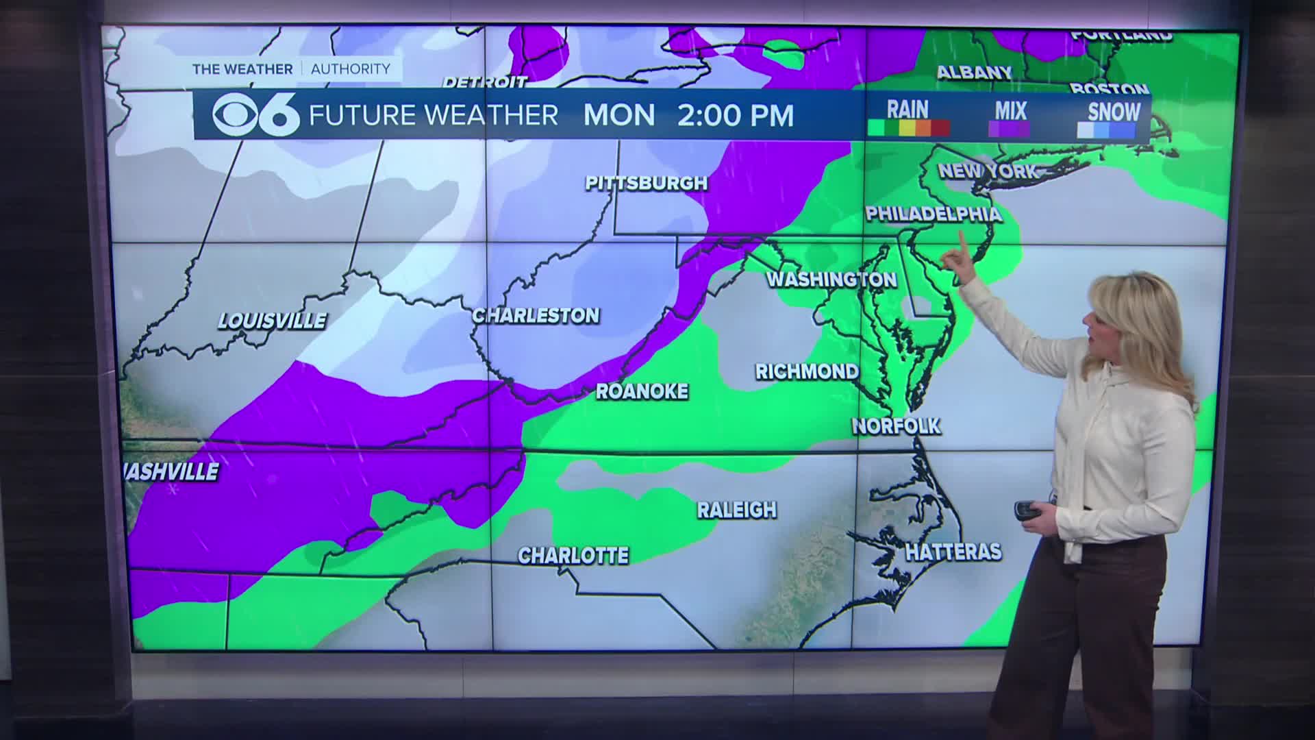
A strong cold front arrives Monday and this system will bring very cold air behind it and likely produce more widespread rain than recent weather events throughout the day. It will be a warm ahead of the front with highs in the mid 60s.
Tuesday will be much colder with highs only in the 40s as sunshine returns behind the departed front.
Highs will be in the mid to upper 40s Wednesday and Thursday. It will be dry for New Year's Eve and New Year's Day.
Stay With CBS 6, The Weather Authority.
STORM TRACKING LINKS:
Weather Alerts
Closings & Delays
Interactive Radar
Map Center
📱 Download the new and improved CBS 6 Weather App for iPhone and Android.


