


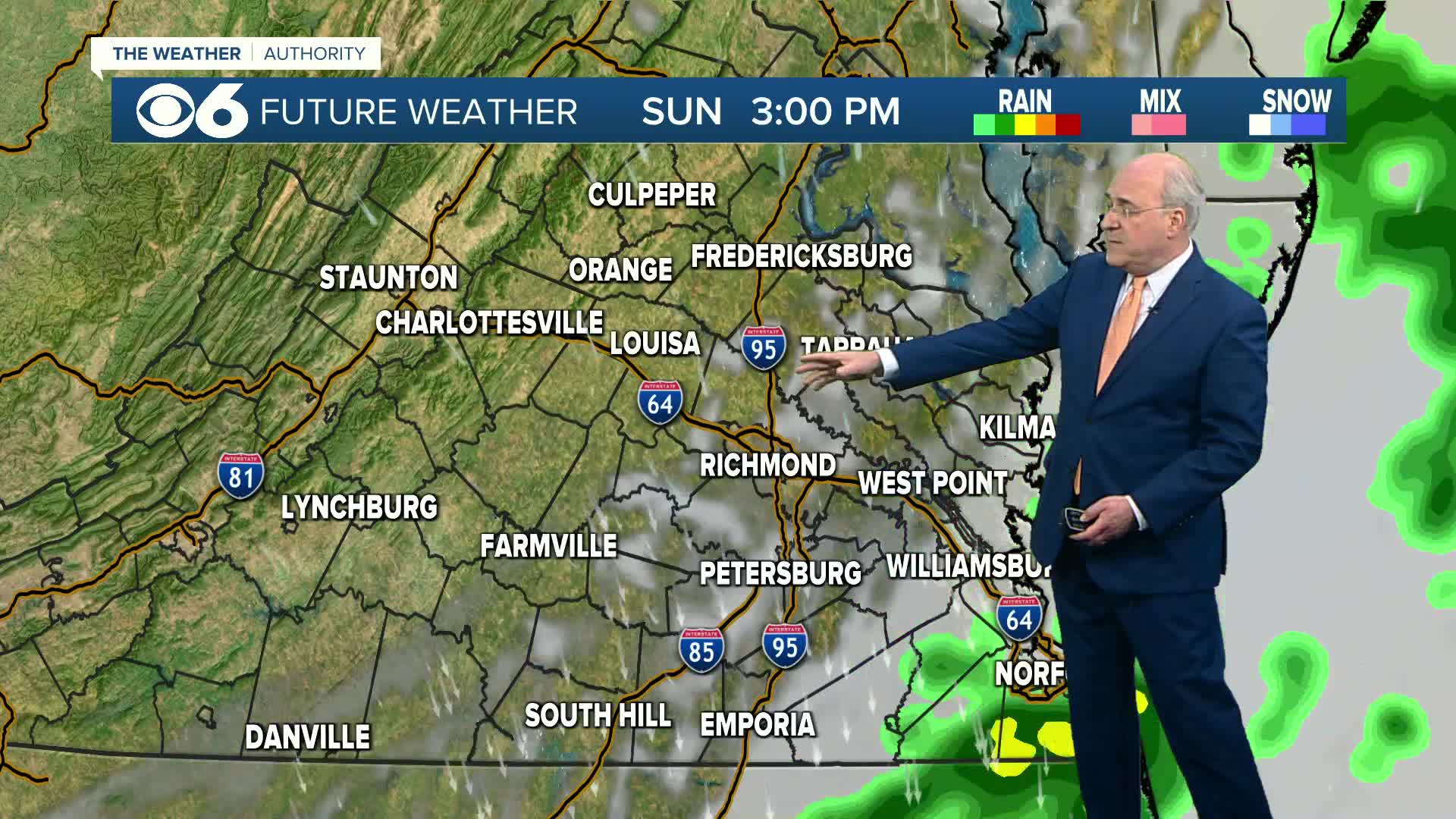

RICHMOND, Va. -- Skies will become mostly cloudy overnight, as a cold front approaches from the west. Temperatures remain quite mild, with temperatures in the 60s across much of the region through daybreak. The one exception will be north and west of Richmond, where readings could be in the 50s before the sun comes up.
The front will bring scattered showers during the morning through midday. It will be much cooler, with temperatures remaining in the upper 50s and low 60s through the afternoon. Occasional wind gusts over 20 mph are possible.
Monday will be cool with morning lows in the upper 30s and low 40s. A good amount of sunshine will boost afternoon temperatures into the low 60s, a bit below average for this time of the year. Monday night into Tuesday morning will be rather chilly. Morning lows will be in the mid to upper 30s in the metro, but will range from the low 30s northwest to around 40 at the coast. Some frost may be possible in outlying areas.
Highs will be in the mid 60s on Tuesday, but then a quick warm-up is on tap with highs around 80 Wednesday and Thursday. Then we'll be back into the 80s Friday and Saturday, with another front possibly bringing some showers later Saturday.
Stay With CBS 6, The Weather Authority.
STORM TRACKING LINKS:
Weather Alerts
Closings & Delays
Interactive Radar
Map Center
📱 Download the new and improved CBS 6 Weather App for iPhone and Android.


