


RICHMOND, Va. -- We should reach 90 degrees for the first time this year Tuesday afternoon, which will tie the record of 90 set in 1977.
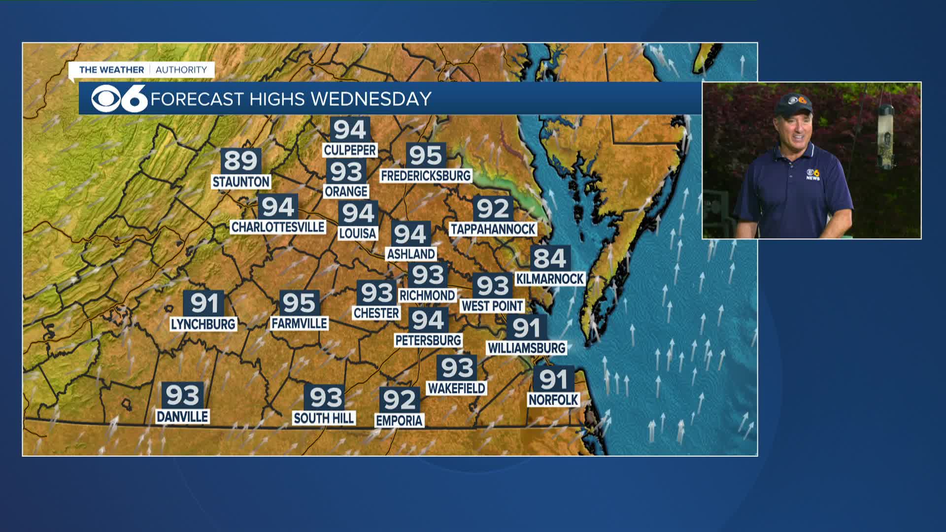
Even hotter weather is expected Wednesday and Thursday. A "double record" of both warm lows and hot highs will be possible Wednesday and Thursday.
The heat will continue through the first half of the weekend, but a seasonably strong cold front will bring heat relief as well as the chance for much-needed rain to the region Sunday.
Almost 90% of Virginia is now in drought status, with 49% in severe drought, and 40% in moderate drought. A tiny sliver of far southern Mecklenburg and Brunswick counties is now in extreme drought status.
Stay With CBS 6, The Weather Authority.
STORM TRACKING LINKS:
Weather Alerts
Closings & Delays
Interactive Radar
Map Center
📱 Download the new and improved CBS 6 Weather App for iPhone and Android.


