

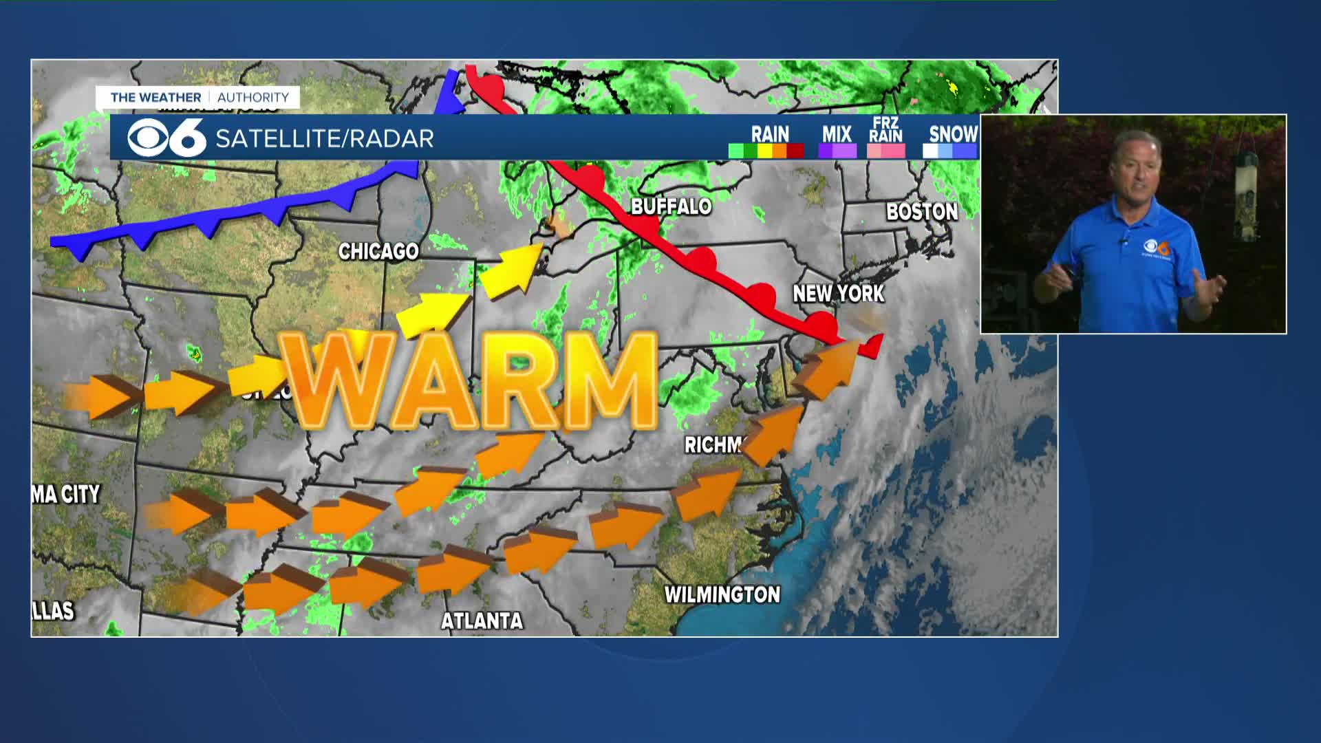

RICHMOND, Va. -- Monday will be warmer and breezy with highs in the mid 80s. It will be cooler near the coast. Some big time heat will build into the region this week, with highs near or above 90 starting Tuesday. Some mid 90s are possible on Wednesday. Some record highs and lows will be challenged for mid and late week.

There appears to be no big chance of any decent rain. There may be a few passing showers Monday afternoon, mostly across northern and western Virginia.
There may be an isolated shower on Friday, but our next decent rain chances will come next Sunday as a cold front moves into the region. Cooler air will follow that frontal passage for the beginning of the following week.
In the meantime, the combination of dry ground conditions, dry air, and occasional gusty breezes will mean there is an increased risk of fire danger this week.
Almost 90% of Virginia is now in drought status, with 49% in severe drought, and 40% in moderate drought. A tiny sliver of far southern Mecklenburg and Brunswick counties is now in extreme drought status.

Stay With CBS 6, The Weather Authority.
STORM TRACKING LINKS:
Weather Alerts
Closings & Delays
Interactive Radar
Map Center
📱 Download the new and improved CBS 6 Weather App for iPhone and Android.


