


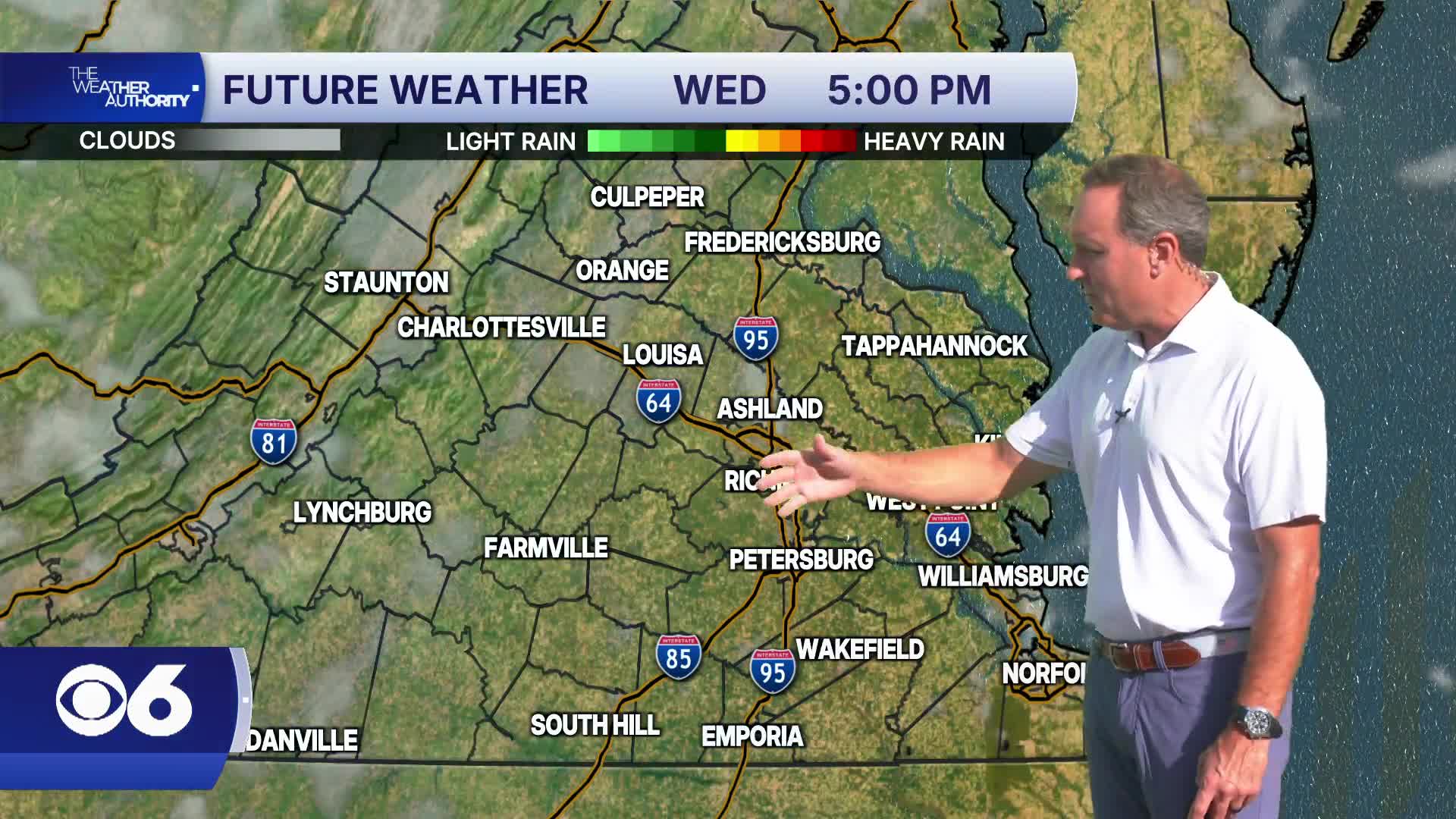

RICHMOND, Va. —Wednesday will remain warm and mainly dry with highs climbing into the mid to upper 80s.
Humidity levels will slowly increase as high pressure shifts offshore, but conditions will still feel relatively comfortable for late August.
A few isolated showers or storms could begin to develop west of the area late Wednesday evening.
Unsettled weather returns Thursday and Friday as a slow-moving cold front approaches the Mid-Atlantic.
Scattered showers and thunderstorms are expected both days, with the greatest threat during the afternoon and evening hours.
While the overall severe weather risk remains low, a few stronger storms are possible if enough sunshine develops.
The front gradually pushes south Saturday, keeping the best rain chances focused across southeastern Virginia and northeast North Carolina, though a few scattered showers may linger closer to Central Virginia. Conditions begin trending drier by Sunday with a mix of sun and clouds returning.
Tropics: A tropical wave is located northeast of Bermuda. It shows a moderate sign of development, but it is expected to remain over the open waters of the north Atlantic.
A stronger tropical off the west coast of Africa this week has a high chance of development as it moves westward through the eastern and central Atlantic.
Stay With CBS 6, The Weather Authority.
STORM TRACKING LINKS:
Weather Alerts
Closings & Delays
Interactive Radar
Map Center
CBS 6 Hurricane Tracker
📱 Download the new and improved CBS 6 Weather App for iPhone and Android.


