



RICHMOND, Va. -- Monday will be very warm and humid with a mix of clouds and sunshine. An isolated shower or thunderstorm is possible later today with a marginal risk (Level 1 of 5) for severe weather. Highs will reach the mid 80s but feeling like 90 degrees.
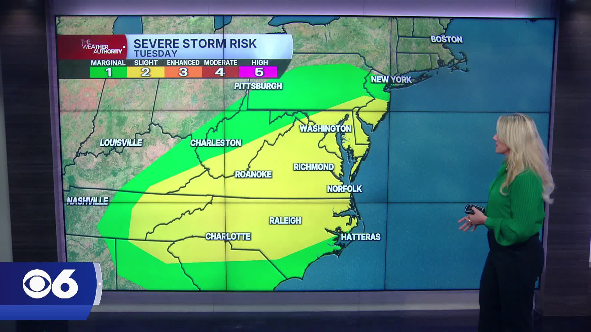
Tuesday brings the highest threat for widespread showers and thunderstorms as a cold front moves through Central Virginia. There is a slight risk (Level 2 of 5) for severe storms with damaging wind gusts and large hail the main concerns. A brief tornado cannot be ruled out near the coast. Storms are most likely between 2 PM and 10 PM.
Behind the front, Wednesday will feature isolated afternoon showers and storms with slightly lower humidity.
Thursday and Friday look mainly dry with temperatures running near to slightly below average, with highs in the mid to upper 80s.
Humidity begins to increase again over the weekend. Saturday will be warm and partly sunny with a slight chance of a storm, while Sunday into next Monday brings a better chance for scattered afternoon and evening thunderstorms as more humid summer air returns.
Stay With CBS 6, The Weather Authority.
STORM TRACKING LINKS:
Weather Alerts
Closings & Delays
Interactive Radar
Map Center
📱 Download the new and improved CBS 6 Weather App for iPhone and Android.


