


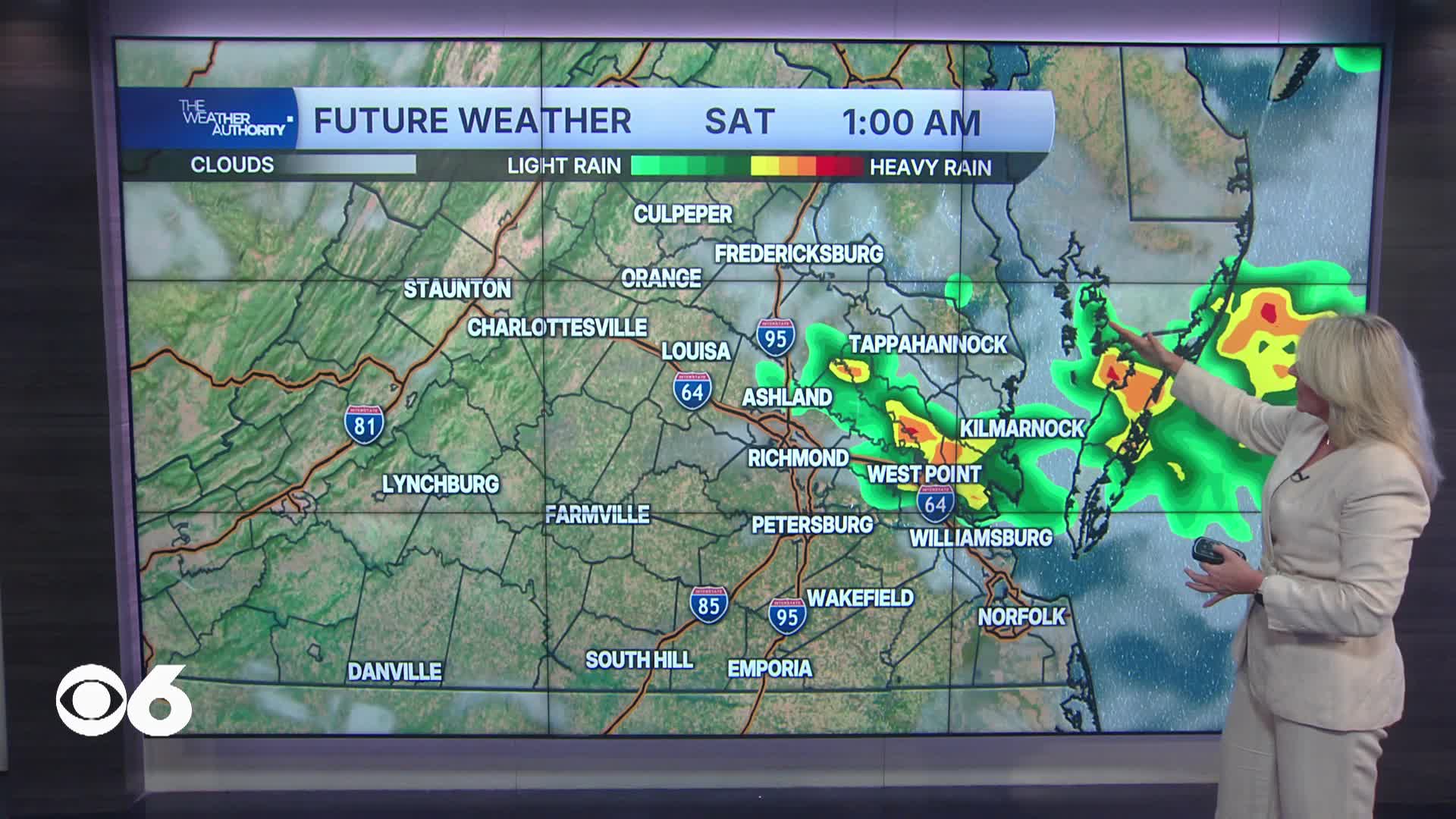

RICHMOND, Va. -- Tonight features partly cloudy skies with mild temps in the low 70s but mugginess prevails.
Saturday will bring another round of scattered showers and thunderstorms across parts of Central Virginia as a slow-moving cold front settles just south of the region.
The greatest threat for stronger storms will remain farther southeast toward Hampton Roads and northeast North Carolina, but a few storms locally could still produce gusty winds, small hail and brief heavy rainfall. Highs will be in the upper 80s to near 90 degrees.
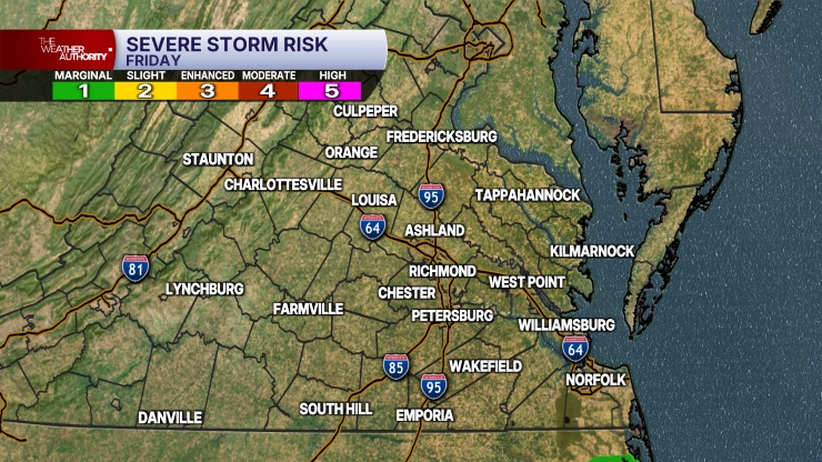
Sunday will be cooler and turn less humid. Highs will be in the low to mid 80s across the metro, with some 70s possible far north and northwest. A shower is possible, with the best chance across southern Virginia.
Labor Day Monday looks much more comfortable with lower humidity and a mix of sun and clouds. Highs will remain seasonable in the mid 80s making for favorable weather for outdoor cookouts, travel and holiday events.
Tuesday and Wednesday stay mostly dry as high pressure builds into the Mid-Atlantic. Temperatures will gradually warm back into the upper 80s with manageable humidity levels and plenty of sunshine.
By Thursday into Friday, another ridge of high pressure begins building back into the region allowing hotter temperatures to return.
Highs are expected to climb back into the low 90s with increasing humidity, signaling another stretch of above-average heat heading into next weekend.
Stay With CBS 6, The Weather Authority.
STORM TRACKING LINKS:
Weather Alerts
Closings & Delays
Interactive Radar
Map Center
CBS 6 Hurricane Tracker
📱 Download the new and improved CBS 6 Weather App for iPhone and Android.


