



RICHMOND, Va. -- The nor'easter will continue to produce gusty winds, especially along the coast. Some showers moving through should taper off during the wee hours of the morning. Lows will be in the 50s.
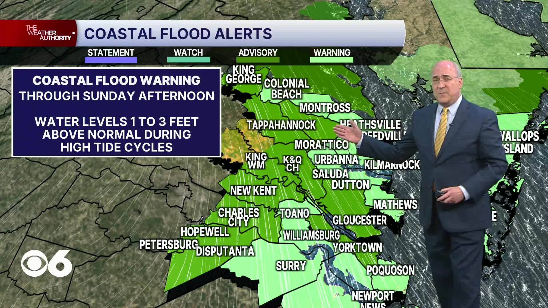
Coastal flood warnings have been extended through Sunday afternoon for all of eastern Virginia, including tidal rivers extending westward into the Tri Cities. Water levels will be 1 to 3 feet above normal during the high tide cycles.
Sunday will be partly to mostly cloudy and still breezy with highs in the upper 60s and low 70s. A few more showers will occur in northern and eastern Virginia, mainly staying north and northeast of Richmond. There will be more sun southwest of Richmond, where highs will be near 80.
The nor'easter will move away from the region on Monday. Highs will be in the low to mid 70s with variable cloudiness.
It will then warm up for the rest of the week as it turns a little more humid. Highs will be around 80° Tuesday, and will be in the mid to upper 80s through Friday. Cooler weather will return to the region next weekend.
Stay With CBS 6, The Weather Authority.
STORM TRACKING LINKS:
Weather Alerts
Closings & Delays
Interactive Radar
Map Center
CBS 6 Hurricane Tracker
📱 Download the new and improved CBS 6 Weather App for iPhone and Android.


