

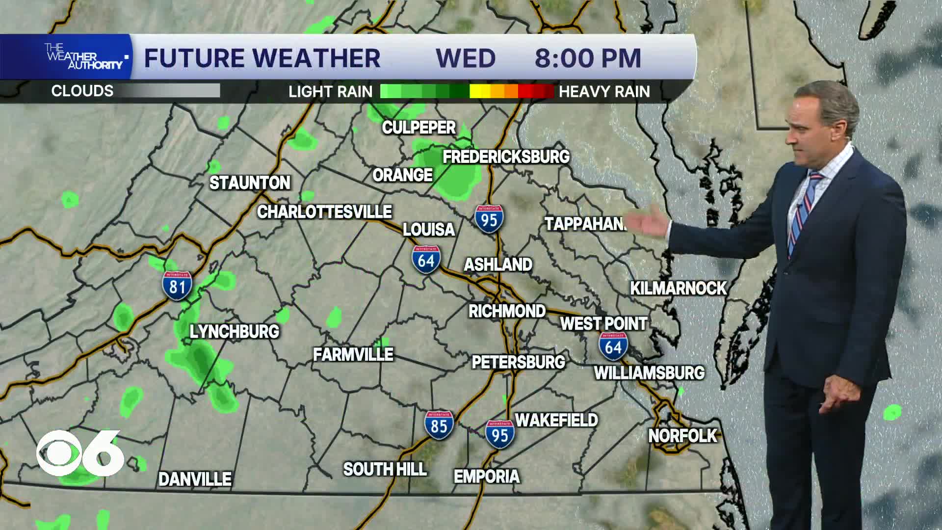

RICHMOND, Va. -- Tonight will be cloudy and cool with patchy drizzle.
Coastal flood warnings remain in effect for all of eastern Virginia into Friday morning. Water levels will be 1 to 3 feet above normal during high tide cycles.
The coastal low will move to our northeast on Thursday, greatly reducing the rain chances. Some sprinkles and scattered showers are possible, mainly in eastern and southeastern Virginia. Highs will stay in the 60s. Some gusty winds will continue.
There will be a mix of clouds and sun on Friday with highs in the lower 70s.
The first weekend of fall will be mostly sunny and very comfortable, but a more westward shift of the coastal low could keep clouds over parts of eastern Virginia. Humidity levels will be low with highs in the low/mid 70s. Overnight lows will be in the low to mid 50s, with 40s in our coolest outlying areas.
Dry weather is expected into the middle of next week as highs get back to around 80°.
Stay With CBS 6, The Weather Authority.
STORM TRACKING LINKS:
Weather Alerts
Closings & Delays
Interactive Radar
Map Center
CBS 6 Hurricane Tracker
📱 Download the new and improved CBS 6 Weather App for iPhone and Android.