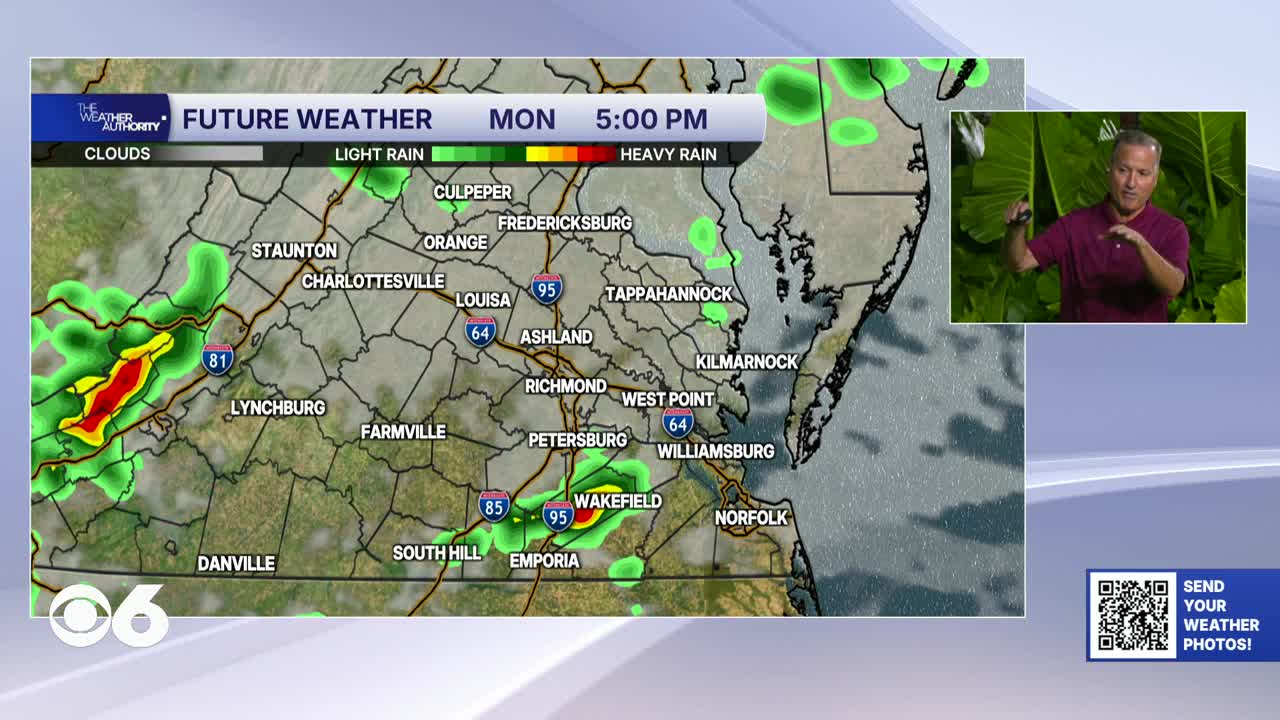

RICHMOND, Va. -- A cold front will sink southward through the region on Monday. Highs will be 75-80° well north of I-64, in the low 80s for the metro, and the mid to upper 80s far south. A few isolated showers or storms are possible, with the best chance west of I-95. A few storms may produce gusty winds.
There will be occasional rain Monday night through Wednesday. There is the potential for some steady and heavy rain at times. Totals could exceed three inches in some locations by later this week. The wind will also increase as a storm takes shape near the Mid Atlantic coast. That will likely result in some coastal flooding during the middle and end of the week.
Temperature-wise, highs will be in the low to mid 70s Tuesday, cooling into the upper 60s Wednesday and Thursday. The autumnal equinox, the astronomical start to fall, occurs at 8:05 p.m.
A few showers will still be around on Thursday, but drier air should move into the region Friday into Saturday. Highs next weekend will be in the low to mid 70s.
Stay With CBS 6, The Weather Authority.
STORM TRACKING LINKS:
Weather Alerts
Closings & Delays
Interactive Radar
Map Center
CBS 6 Hurricane Tracker
📱 Download the new and improved CBS 6 Weather App for iPhone and Android.