
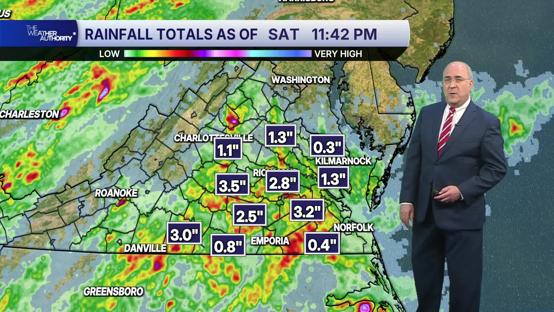

RICHMOND, Va. -- Showers will continue overnight, although in a more scattered nature. Some patchy fog is possible, with lows mostly in the low 70s.
WATCH NOW: Live look at radar, current conditions across Virginia
Sunday will be muggy and hotter with highs in the upper 80s. A few isolated showers are possible early on, and a passing shower or thunderstorm is possible in the afternoon.
A cold front will pass through the region Monday morning with the threat of a passing shower. Cooler and less humid air will move later in the afternoon into the evening. Highs will be in the low to mid 80s. Lows Monday night will be in the upper 50s to around 60° in the metro, but some low to mid 50s are possible in outlying areas north and west of Richmond.
Wednesday and Thursday will be pleasant days, with highs in the low to mid 80s Wednesday and the mid to upper 80s on Thursday. Lows will be in the upper 50s and low 60s.
Our longer-range computer models are indicating some "cooler" weather is possible starting the week of September 21. Highs may stay in the 70s and low 80s. The autumnal equinox is Tuesday, September 22.
Stay With CBS 6, The Weather Authority.
STORM TRACKING LINKS:
Weather Alerts
Closings & Delays
Interactive Radar
Map Center
CBS 6 Hurricane Tracker
📱 Download the new and improved CBS 6 Weather App for iPhone and Android.