


RICHMOND, Va. —Tuesday will be warm with a high in the lower 80s, under partly sunny skies.
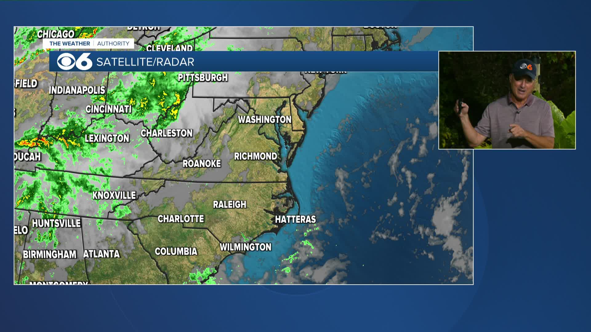
A seasonally strong cold front will bring a good chance for rain to the area Wednesday, followed by a push of cooler air for the rest of the week.
There remains a high degree of uncertainty regarding the development of a coastal low that could bring rain to the area late Saturday into Sunday.
A disturbance in the south-central Atlantic has a high chance of becoming our next named storm. The next name on the list is "Jerry."
Stay With CBS 6, The Weather Authority.
STORM TRACKING LINKS:
Weather Alerts
Interactive Radar
Map Center
Hurricane Tracker
Closings & Delays
📱 Download the new and improved CBS 6 Weather App for iPhone and Android.

WTVR


