


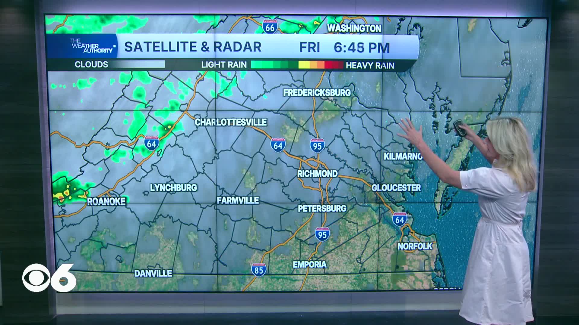

RICHMOND, Va. -- A few isolated showers are possible this evening, with the best chance north of I-64. Scattered showers will occur overnight as a cold front moves through. Lows will be in the low to mid 60s.
There will be periods of showers across the region on Saturday. Daytime highs will likely occur around daybreak — in the upper 50s and lower 60s northwest, the low to mid 60s for the metro, and the upper 60s and lower 70s south. Temperatures will then fall a bit once the rain starts, and remain fairly steady during the afternoon.
The front will get hung up in North Carolina on Sunday, and as an area of low pressure moves along it, we will see occasional rain during the day. Highs will be in the 60s.
Weekend rain totals will exceed 1/2 inch in many spots, with the potential for an inch or more, especially in the metro into southern Virginia.
Highs will be in the low/mid 70s Monday, with lows at night in the 40s to around 50°.
It will be cooler Tuesday with highs in the low to mid 60s. Lows Tuesday night will be in the low to mid 40s, with 30s in outlying areas.
Highs will warm back into the 70s Wednesday and Thursday, and will be around 80° Friday.
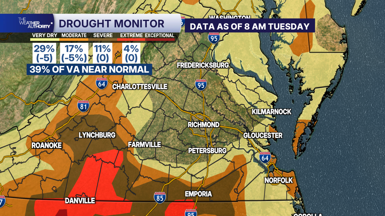
In this week's drought monitor, areas of severe and extreme drought remained unchanged. However, there was a bit of improvement for some moderate drought and very dry locations. Almost 40% of the state is now near normal.
Stay With CBS 6, The Weather Authority.
STORM TRACKING LINKS:
Weather Alerts
Closings & Delays
Interactive Radar
Map Center
CBS 6 Hurricane Tracker
📱 Download the new and improved CBS 6 Weather App for iPhone and Android.


