

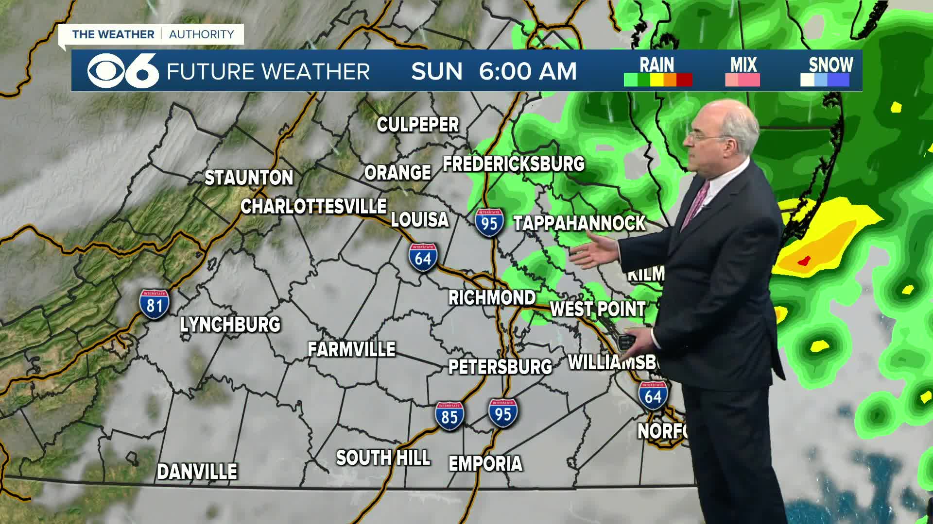

RICHMOND, Va. -- Skies will be mostly cloudy with some showers possible overnight into Sunday morning. This is the result of a warm front lifting north across the area. Lows will be in the upper 40s and low 50s.
Much of Sunday will be dry, with developing sunshine for the early afternoon. As a cold front approaches from the west, a few showers are possible later in the afternoon into the evening, and we may hear a few rumbles of thunder. Highs will be in the low to mid 70s.
Monday will bring a mix of sun and clouds and it will be much cooler, with highs in the upper 40s and low 50s. A secondary disturbance will pass through the area Monday night. There could be a few sprinkles or even snowflakes over the higher elevations to the west, but the air will be pretty dry, so the chance of precipitation is very low. It will be cold Tuesday morning, with lows ranging from the mid 20s to around 30. A hard freeze is likely, particularly in outlying areas.
Tuesday will be mostly sunny, breezy and chilly with highs in the mid to upper 40s. Wind chill values will be in the 30s to low 40s much of the day. Lows Tuesday night will be in the low to mid 30s.
The rest of the week is looking dry. Temperatures will shoot back up into the low 60s Wednesday. A few passing cold fronts could shave a few degrees off the highs later in the week.
Stay With CBS 6, The Weather Authority.
STORM TRACKING LINKS:
Weather Alerts
Interactive Radar
Map Center
Hurricane Tracker
Closings & Delays
📱 Download the new and improved CBS 6 Weather App for iPhone and Android.


