

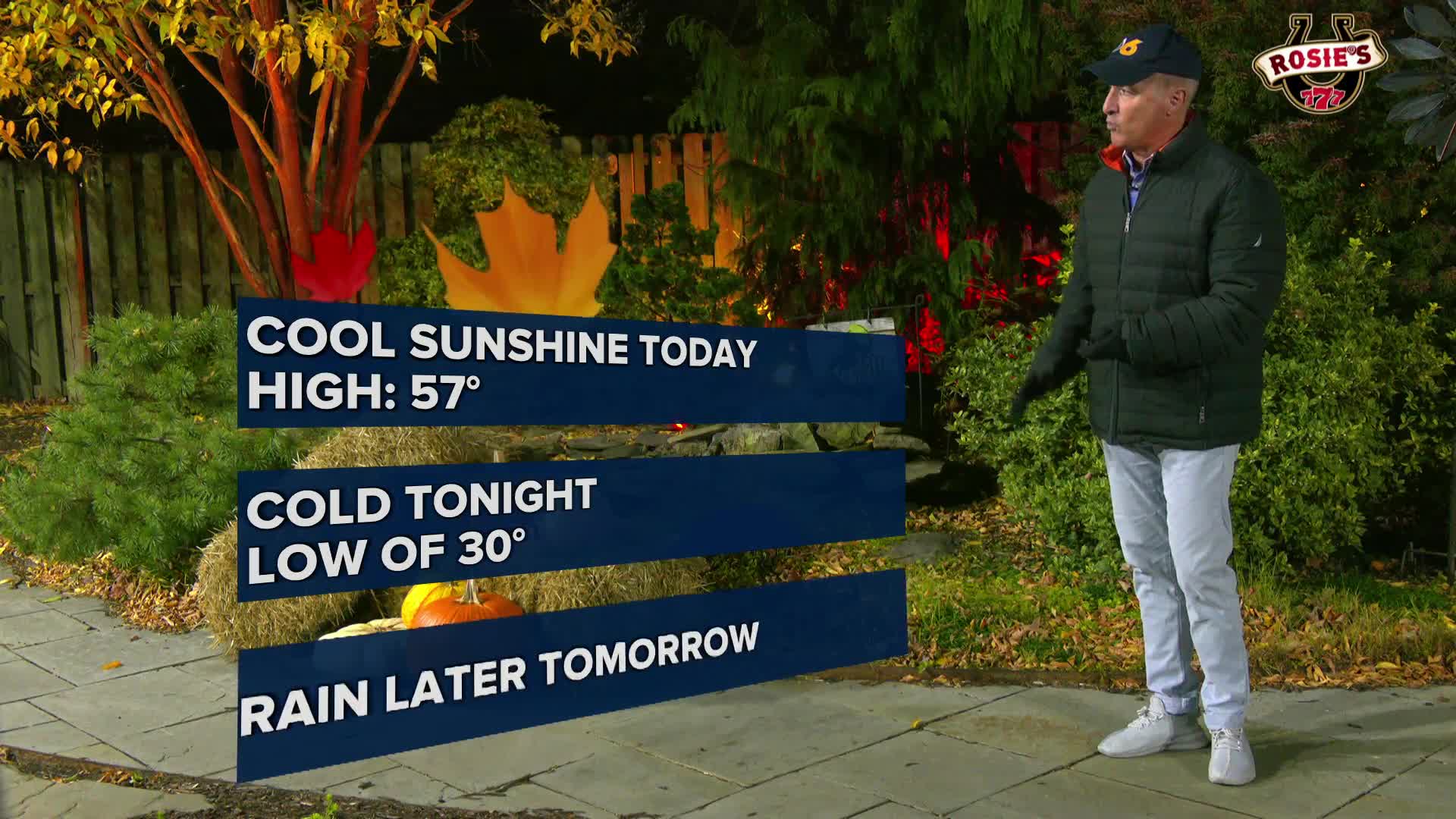

RICHMOND, Va. -- Monday will be sunny, cool and still breezy at times. Highs will be in the mid 50s. Monday night will be the coldest of the week, with many locations at or below freezing away from the coast.
Tuesday will start with sunshine, but the clouds will rapidly increase. Some showers may develop by evening, with a high chance of rain at night. Highs will be in the low to mid 50s. The rain should end by around daybreak on Wednesday.
It will turn a bit warmer the second half of the week, with highs getting back to around 70 by Friday. There may be a shower or two later Thursday, with another cold front bringing a risk for showers Friday night into Saturday morning. After that, most of next weekend looks dry as of now.
Stay With CBS 6, The Weather Authority.
STORM TRACKING LINKS:
Weather Alerts
Interactive Radar
Map Center
Hurricane Tracker
Closings & Delays
📱 Download the new and improved CBS 6 Weather App for iPhone and Android.


