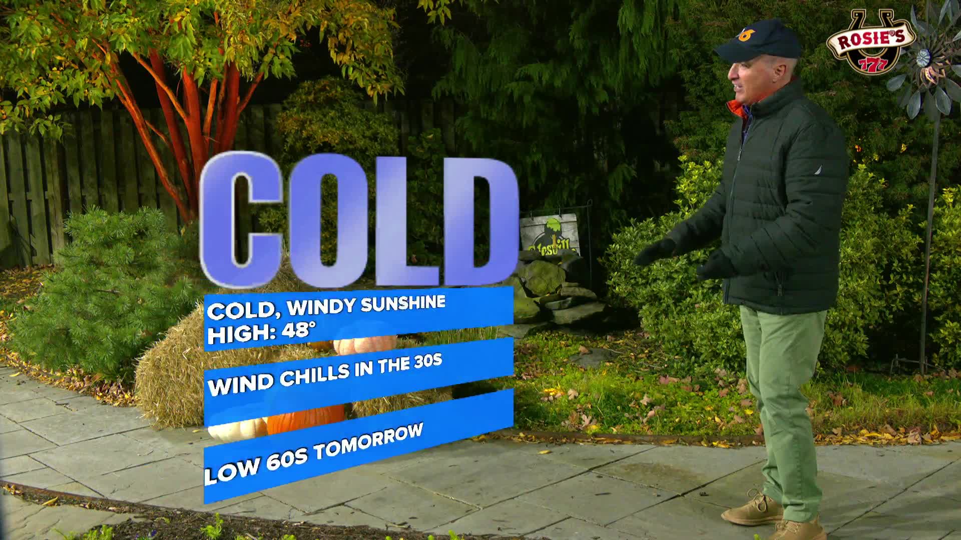
RICHMOND, Va. -- Monday will bring a mix of clouds and sunshine. It will be much cooler with a bit of a breeze. Highs will be in the upper 40s and low 50s. An upper level disturbance will pass through the region late Monday into Monday night. There is a threat for a few showers with a few flakes potentially mixing in, but the air will be pretty dry, and the chance of precipitation is fairly low. For those traveling, accumulating snow will occur in the mountains of West Virginia Monday into Tuesday, with some locations picking up over three inches of snow.
It will be cold Monday night into Tuesday morning, with lows from the mid 20s to the low 30s. A Freeze Warning is in effect for central and eastern Virginia. Areas well west of I-95 have already experienced a freeze, so additional alerts will not be issued there.
Tuesday will be mostly sunny, breezy and chilly. Highs will be in the mid to upper 40s. Wind chills will be in the upper 20s and low 30s in the morning, and range from the upper 30s to mid 40s during the afternoon.
Lows Tuesday night will be in the low to mid 30s. Highs will rebound back into the low 60s on Wednesday, and will stay in the upper 50s and low 60s through the end of the week.
Stay With CBS 6, The Weather Authority.
STORM TRACKING LINKS:
Weather Alerts
Interactive Radar
Map Center
Hurricane Tracker
Closings & Delays
π± Download the new and improved CBS 6 Weather App forΒ iPhone and Android.
