


RICHMOND, Va. -- Tonight will be partly cloudy and warm, with lows in the upper 60s. An isolated shower will be possible, but most showers and storms will be confined to northern and western Virginia.
A cold front will move through central Virginia early Thursday morning, bringing relief from the heat and a chance for rain, especially late in the day.
The front will stall across southern Virginia and northern North Carolina, but close enough to bring us a continued chance for rain Friday.
Rain chances will continue Saturday, but will be lower Sunday.
Temperatures will remain well below normal Thursday through Sunday, with highs staying in the 60s in some areas for the four day stretch.
Temperatures will climb to near normal by Memorial Day with additional showers and storms possible.
Stay With CBS 6, The Weather Authority.
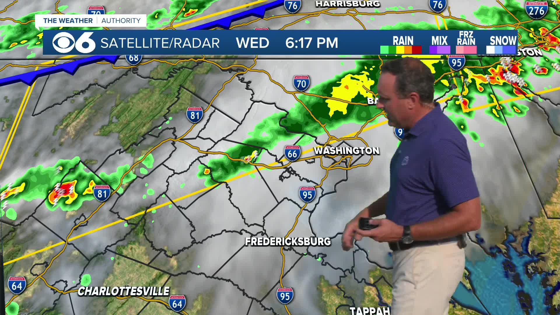
STORM TRACKING LINKS:
Weather Alerts
Closings & Delays
Interactive Radar
Map Center
📱 Download the new and improved CBS 6 Weather App for iPhone and Android.


