



RICHMOND, Va. -- The clouds will slowly break up and skies will clear out overnight.
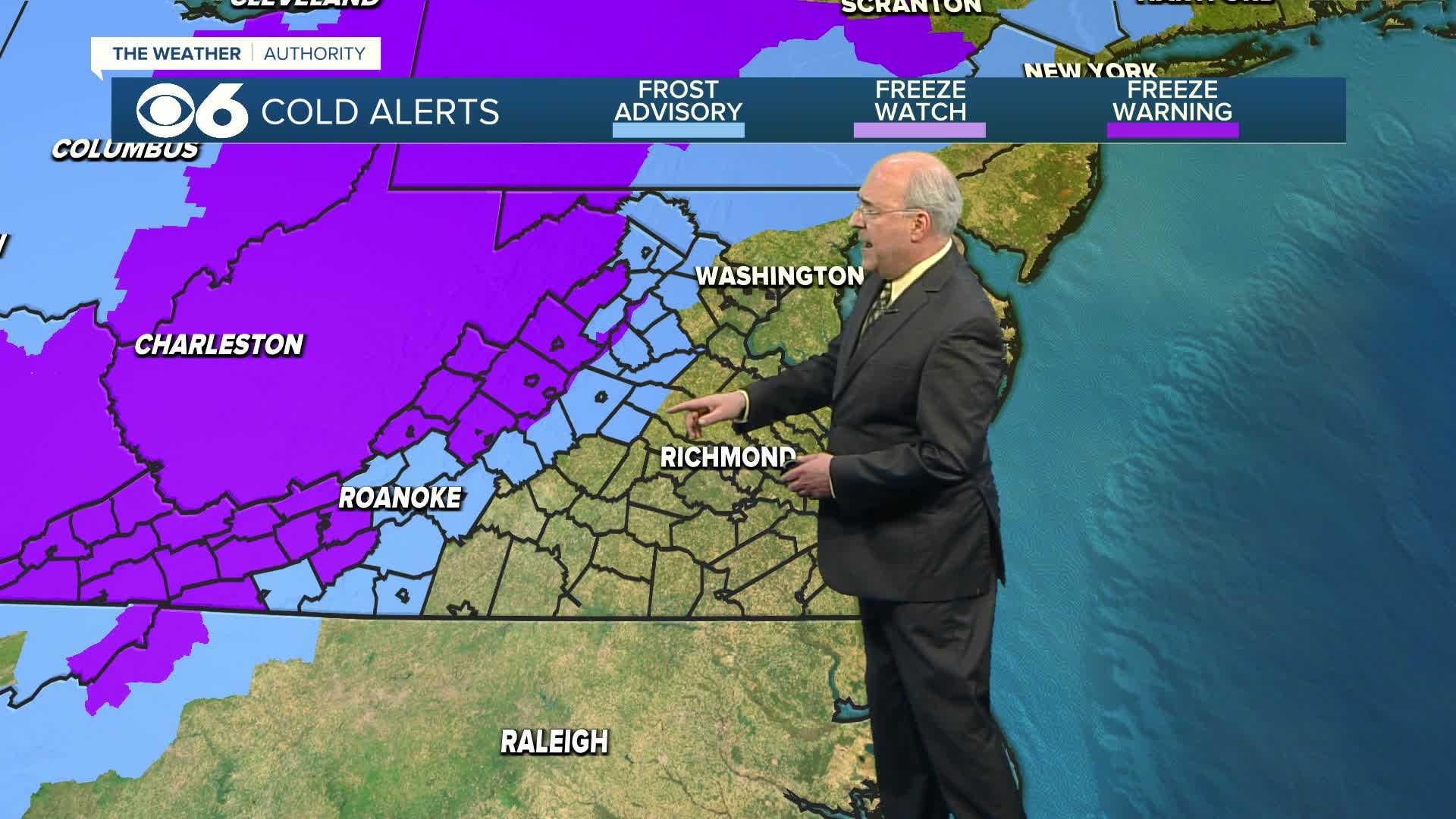
It will be quite cool, with lows in the upper 30s and low 40s. A Frost Advisory is in effect well to the north and west, from western Louisa up to Orange and Culpeper counties.
Sunday will be mainly sunny and a bit milder. Highs will be in the mid to upper 60s away from the coast.
A warm-up is on the way to begin the new week, with highs in the upper 70s Monday and then the low to mid 80s Tuesday and Wednesday.
An approaching system may bring a shower or storm later Wednesday, mostly well north and northwest of Richmond. Highs will be in the upper 70s and low 80s. Our main rain chances will come late Wednesday night into Thursday. Showers and a few thunderstorms are possible, with highs in the 70s.
Skies will clear out again for Friday. After morning lows in the 40s, highs will be around 70.
Most of the state is in a severe drought (level 3 out of 5), with areas well south and southwest of Richmond in an extreme drought (level 4 out of 5).

Stay With CBS 6, The Weather Authority.
STORM TRACKING LINKS:
Weather Alerts
Closings & Delays
Interactive Radar
Map Center
📱 Download the new and improved CBS 6 Weather App for iPhone and Android.


