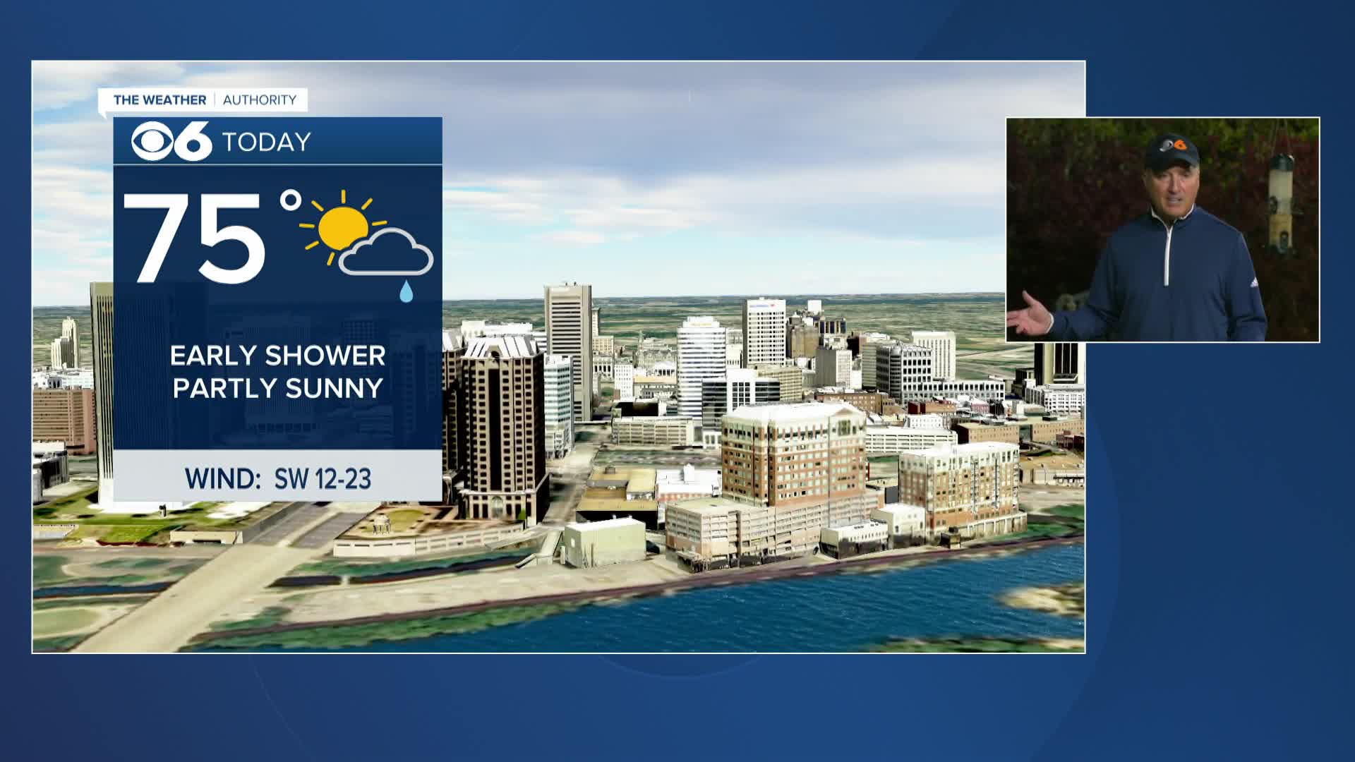
Actions

Sunday starts chilly, warming trend today into mid-week

Warming up into mid-week
Posted
and last updated

RICHMOND, Va. -- It is a clear and cold morning with lows in the 20s and lower 30s.

It will be mainly sunny today with highs in the low to mid 60s for most areas, with 50s near the coast.

There is an increased risk of fire danger from 11 a.m. to 7 p.m. due to the combination of drying ground conditions, low relative humidity, and some winds over 15 mph.

fire danger.png

Tonight will not be as cold with lows in the 40s.

Monday will have a mix of clouds and sunshine. There is the slight chance of a shower, mostly north of I-64. Highs will be in the low to mid 70s, but there will be 60s near the coast.,

Tuesday will be mostly sunny and warmer with highs in the upper 70s and lower 80s away from the coast.

A few showers or storms are possible later in the day Wednesday. Highs will be in the low to mid 80s.

It will be a bit unsettled at times at the end of the week. There is the chance of at least a shower or two each day, with the potential for some occasional showers and storms. Highs will be in the 70s and 80s.

Stay With CBS 6, The Weather Authority.

STORM TRACKING LINKS:

Weather Alerts
Closings & Delays
Interactive Radar
Map Center

📱 Download the new and improved CBS 6 Weather App for iPhone and Android.

The-Weather-Authority-1280x720.jpg

"Entertainment Tonight" on CBS 6

Watch 'Entertainment Tonight' weekdays at 7 p.m. followed by CBS 6 News at 7:30 p.m.

📱 Download CBS 6 Weather App
The app features customizable Severe Weather Alerts, Interactive Radar, Lightning Detector, video reports our from CBS 6 Meteorologists and more.