


RICHMOND, Va. -- Monday will turn less humid and much cooler than the weekend was. We will have mostly sunny skies. Highs will range from the 70s along the coast, to the low/mid 80s in the metro, to near 90 far southwest. At coastal beach areas, rip current risk will be elevated on Monday with brisk winds from the E-NE.
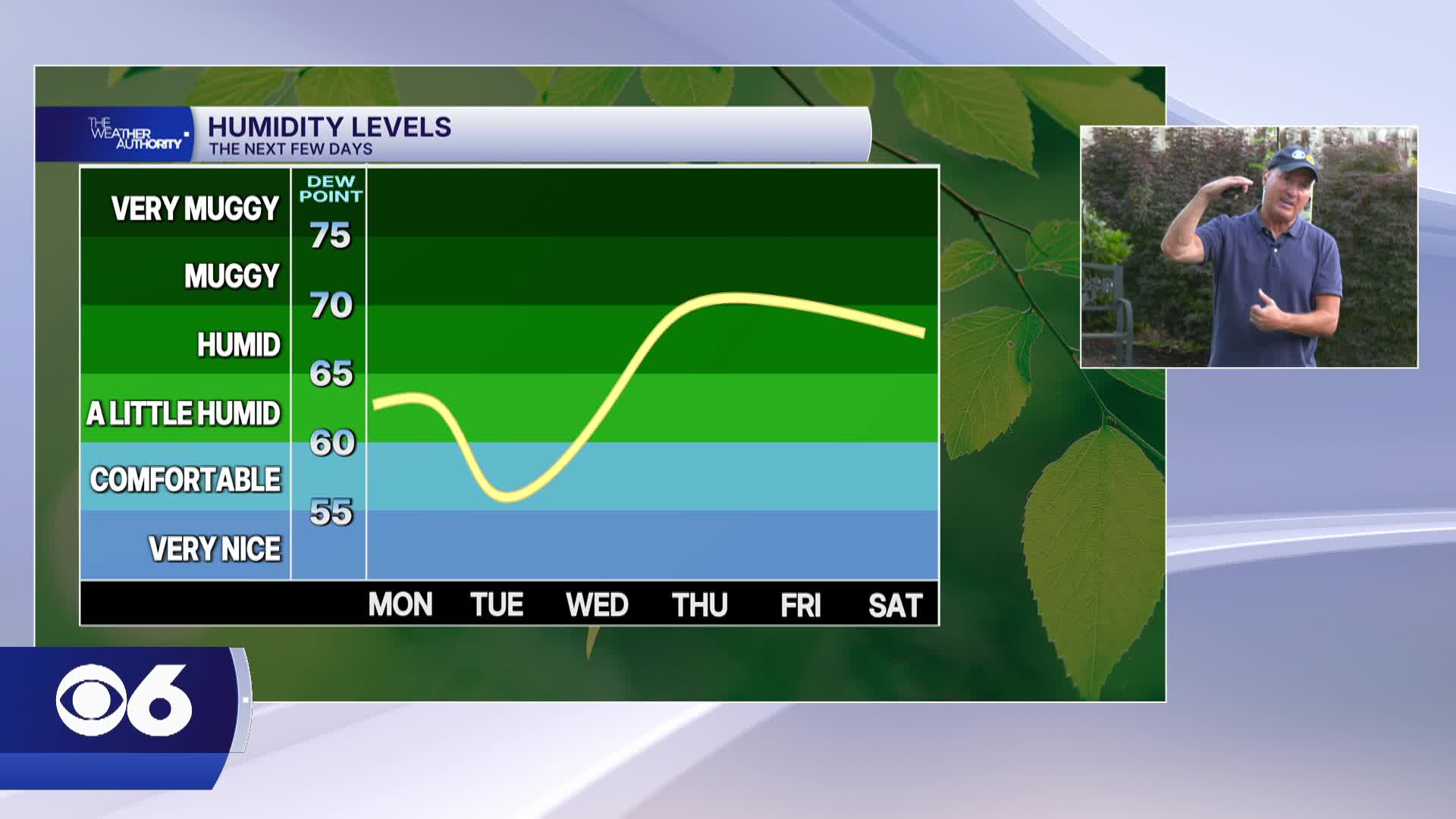
Tuesday will be a lot less humid. After morning lows in the 50s, highs will rebound into the low and mid 80s.
It will turn hotter and more humid the rest of the week with highs at or above 90. Some mid to upper 90s are possible by Friday, with a heat index near 100.
A few pop-up storms are possible each day, but not all areas will see rain.
STORM TRACKING LINKS:
Weather Alerts
Closings & Delays
Interactive Radar
Map Center
📱 Download the new and improved CBS 6 Weather App for iPhone and Android.


