



RICHMOND, Va. -- Tonight will be warm with partly cloudy skies and lows in the mid to upper 60s.
Sunday will be more humid with highs in the low 90s, along with a mix of sun and clouds.
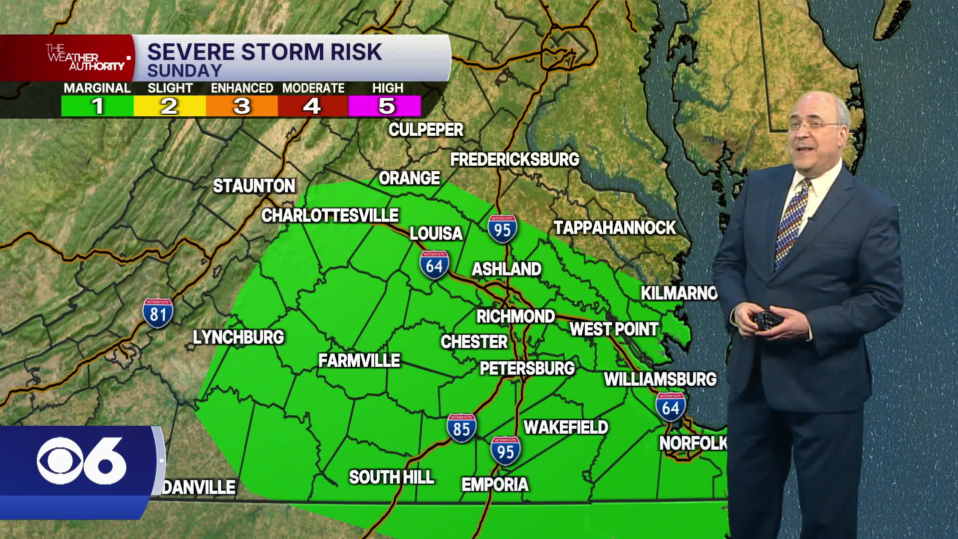
As a cold front approaches from the north, a few isolated thunderstorms are possible in the afternoon and evening. Not too many areas will see the storms, but the storms that develop could produce some strong gusts. The entire CBS 6 viewing area is under a marginal risk (level 1 out of 5) for severe storms.
Monday will be less humid and a touch cooler. Highs will be in the mid 80s across the metro, but will range from the upper 70s at the coast, to near 90 far southwest of Richmond.
Monday night will be the coolest of the week, with lows in the 50s. Highs Tuesday will be in the low to mid 80s. Then we'll heat up again for the second half of the week. Highs will get back to around 90 on Wednesday, and will be in the low to mid 90s Thursday through next weekend. It will turn increasingly more humid, making it feel a few degrees hotter.
We'll also get into a somewhat unsettled pattern, leading to the threat of some pop-up storms each day.
Stay With CBS 6, The Weather Authority.
STORM TRACKING LINKS:
Weather Alerts
Closings & Delays
Interactive Radar
Map Center
📱 Download the new and improved CBS 6 Weather App for iPhone and Android.


