


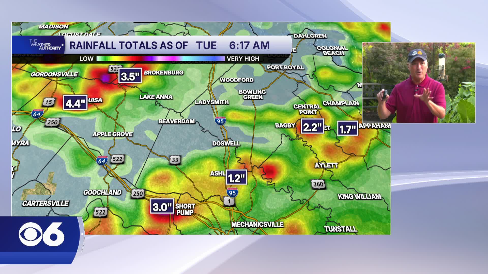

RICHMOND, Va. -- Another Flood Watch for Central Virginia in effect Tuesday afternoon and evening. It will be very humid with a high in the upper 80s. More showers and storms will be possible this afternoon, heavy rain and gusty winds will be possible.
Highs Tuesday will stay near seasonal averages, generally in the upper 80s to around 90.
The rest of the week will continue to feel muggy with daily chances for pop-up showers and thunderstorms during the afternoon and evening hours.
Wednesday looks to be the coolest day of the week with highs in the mid 80s as a weak front moves through. Temperatures return to the upper 80s and low 90s Thursday and Friday.
The weekend looks seasonably warm and humid with scattered storms Saturday but mostly dry Sunday. Stay with CBS 6, The Weather Authority.
STORM TRACKING LINKS:
Weather Alerts
Closings & Delays
Interactive Radar
Map Center
📱 Download the new and improved CBS 6 Weather App for iPhone and Android.


