
RICHMOND, Va. -- Clouds will decrease across the area overnight, with some patchy fog developing. Lows will be in the low to mid 60s.
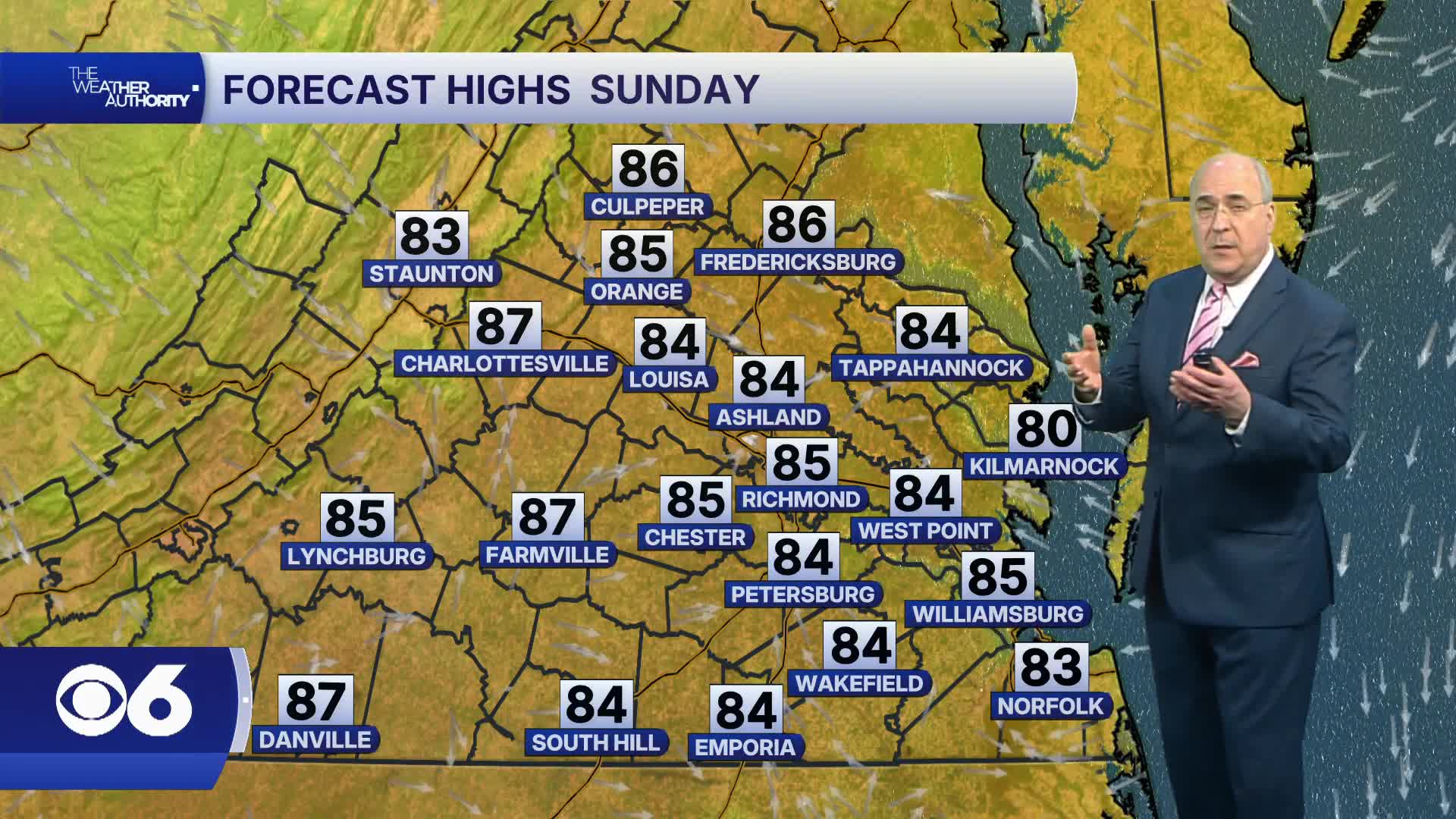
Sunday will be warmer with a mix of clouds and sunshine. Highs will be in the low to mid 80s. An isolated shower or thunderstorm is possible later on, with a little better chance at night.
Monday will be quite warm and humid, with afternoon highs in the upper 80s to near 90°. An isolated shower or thunderstorm will again be possible.
An approaching cold front will bring a threat for scattered thunderstorms Tuesday. A few of these storms could be strong, with the potential of strong wind gusts. Highs will be in the upper 80s and low 90s. The front will move slowly to the southeast on Wednesday, keeping the possibility of a lingering shower or thunderstorm around.
Drier air will return for the end of the week, with highs in the mid to upper 80s and lows in the 60s.
Stay With CBS 6, The Weather Authority.
STORM TRACKING LINKS:
Weather Alerts
Closings & Delays
Interactive Radar
Map Center
📱 Download the new and improved CBS 6 Weather App for iPhone and Android.