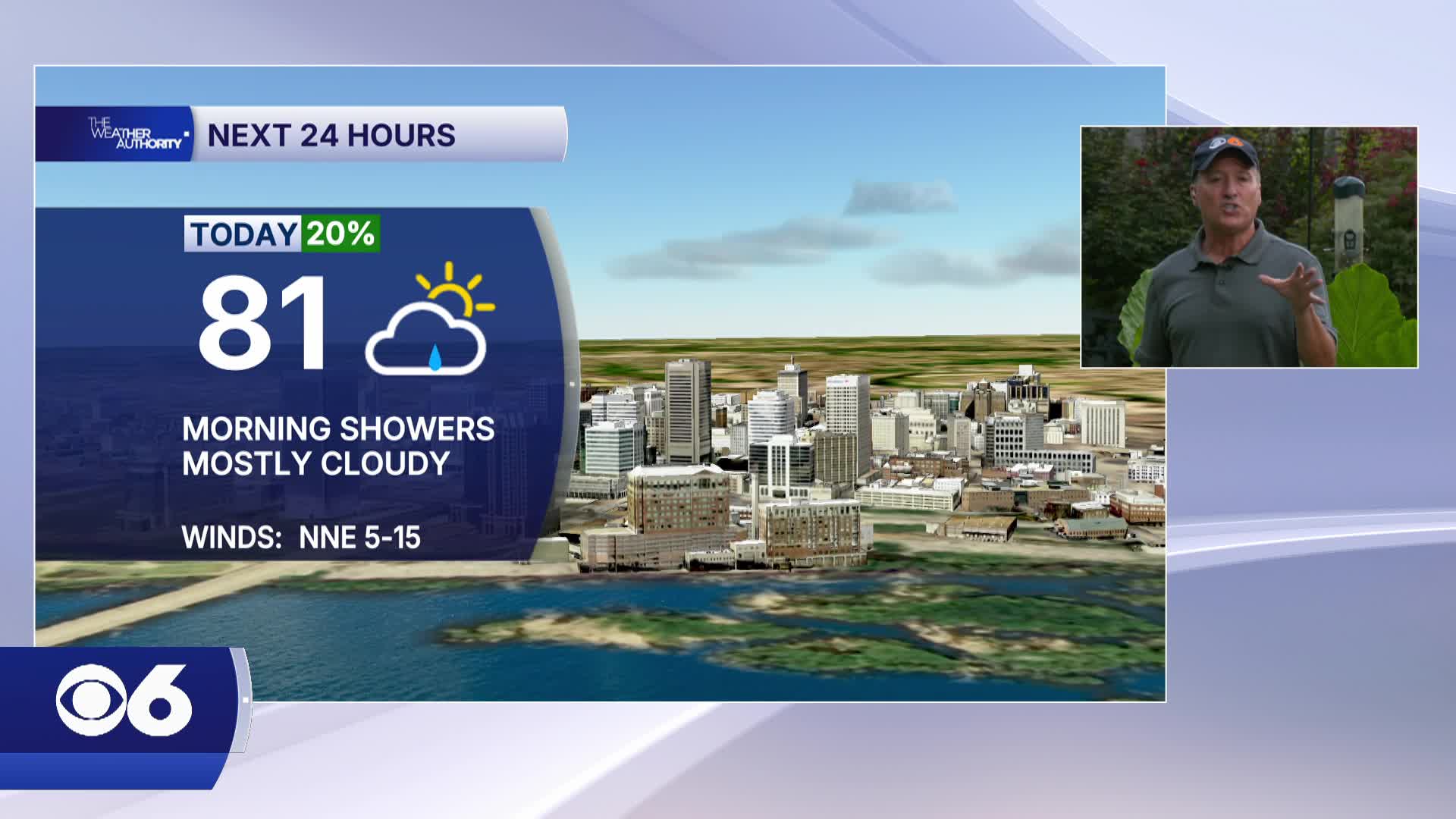

RICHMOND, Va. -Skies will remain mostly cloudy with a few peaks of sun through the afternoon. Today will be seasonably cool with a high only in upper 70s and lower 80s. The humidity will begin to fall through the afternoon as well. Tonight will be partly cloudy and cool with a low in the lower 60s.
Friday will be partly sunny and cool with lower humidity. The high again will only be in the lower 80s.
The weekend will have a slight upward tick in the humidity with highs in the 80s. Morning showers will be possible Saturday, and a stray storm on Sunday.
Tropics: Tropical Storm Bertha will track westward from New Orleans into Texas over the next 48 hours before weakening. More information is in the CBS 6 Hurricane Tracker.
WATCH NOW: Live look at radar, current conditions across Virginia
STORM TRACKING LINKS:
Weather Alerts
Closings & Delays
Interactive Radar
Map Center
📱 Download the new and improved CBS 6 Weather App for iPhone and Android.