


RICHMOND, Va. -- It was another very active weather late afternoon and evening Saturday with multiple severe thunderstorm warnings and flash flood warnings.
Storms will continue to trek east of Virginia overnight, but it will stay very muggy with areas of fog possible into the predawn hours Sunday.

Sunday will be muggy and hotter with highs in the low to mid 90s, with a heat index exceeding 100°.
A couple of isolated storms are possible, mostly west of I-95. Most areas may stay dry, but any storms that do develop could have strong gusts. Otherwise it looks like it will be a quieter, though very hot, day vs Saturday's widespread storms.
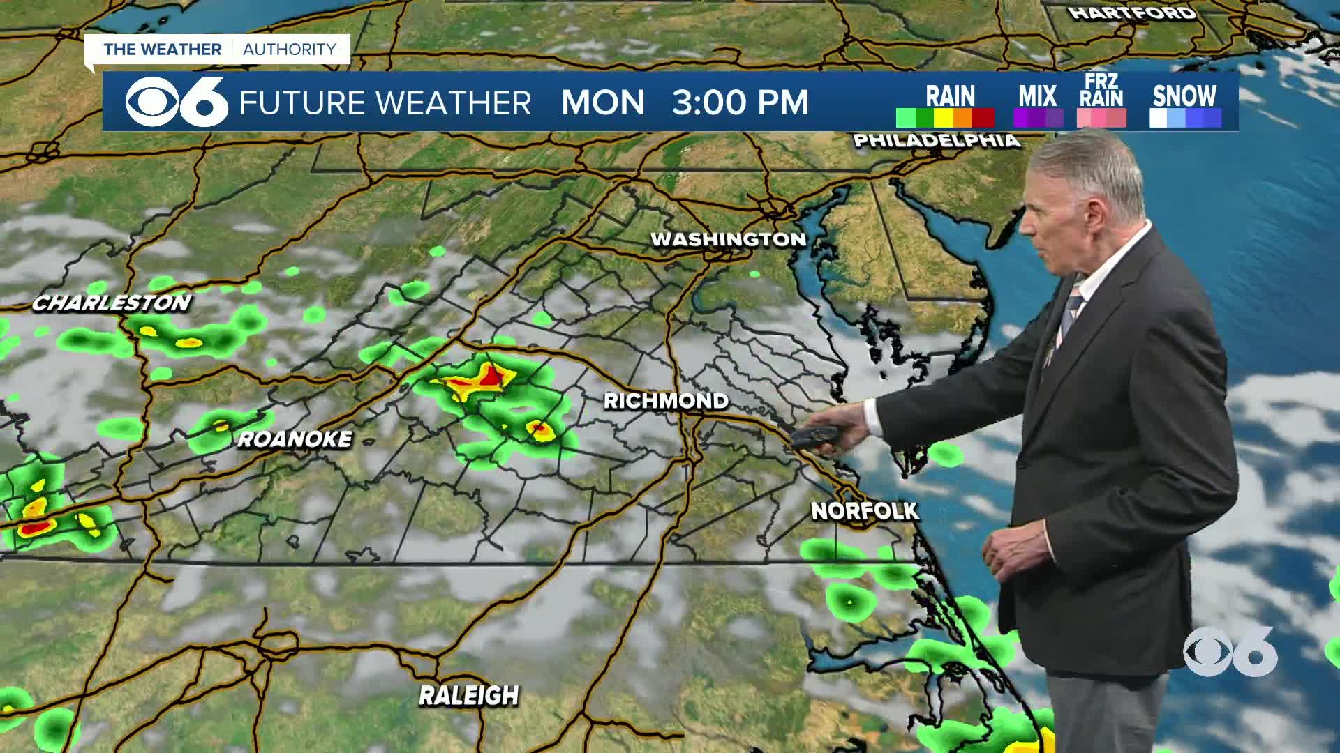
A cold front will push south of our region Sunday night, bringing somewhat cooler and less humid air early next week, but Monday will still bring some storms with northwesterly winds aloft helping to kick up some as the front slowly settles to our south.
WATCH NOW: Live look at radar, current conditions across Virginia
Highs Monday through Wednesday will range from the mid to upper 80s. Overnight lows will be in the 60s away from the coast. Tuesday and Wednesday look like the best days next week for cooler temps and lower humidity.
Low pressure could develop off the Southeast U.S. coast later next week, and it looks like it will keep its rain well south of Virginia, but it wouldn't be surprising to see an uptick in shower chances by late in the week or next weekend regardless with a return of summertime heat and humidity. Temperatures by the end of the week will be back in the 90s.
WATCH: Stray thunderstorm possible Sunday; cold front will bring lower humidity Monday
A cold front will push south of our region Sunday night into Monday, bringing somewhat cooler and less humid air.
Highs Monday through Wednesday will range from the lower to upper 80s. Overnight lows will be in the 60s away from the coast.
Highs may hit 90 on Thursday, and will be in the low to mid 90s Friday through next weekend. It will turn more humid Thursday, with muggy conditions returning for the weekend.
Stay With CBS 6, The Weather Authority.
STORM TRACKING LINKS:
Weather Alerts
Interactive Radar
Map Center
Hurricane Tracker
Closings & Delays
📱 Download the new and improved CBS 6 Weather App for iPhone and Android.


