


RICHMOND, Va. —Wednesday's forecast shows fewer storms, though some will still be present in the evening, potentially affecting the Richmond Kickers soccer game and the Dave Matthews Band concerts on Tuesday and Wednesday.
A few storms remain possible on Thursday before the pattern changes for the weekend. While thunderstorm chances will continue through the weekend, they're expected to be less heavy and widespread with lows remaining in the 70s.
Areas of Chester, Colonial Heights, Hopewell, Petersburg, Matoaca, Lake Chesdin, North Dinwiddie, most of Prince George, Waverly, and Surry County received between 4 and 8 inches of rain from Monday night through early Tuesday morning, prompting flood emergencies.
Tappahannock to Warsaw, Richmond County, and Essex County saw more than 6 inches of rainfall in some areas, with the heavy precipitation extending northward through Westmoreland County, which received about 4 inches. This comes after Westmoreland already experienced 3 to 4 inches of rain yesterday, creating very saturated ground conditions.
A disturbance that has been oscillating back and forth in the region has been triggering afternoon storms with high humidity, creating significant downpour potential. Additionally, a developing low-pressure system off the Florida coast, which may become a storm named Dexter, is enhancing moisture in our area.
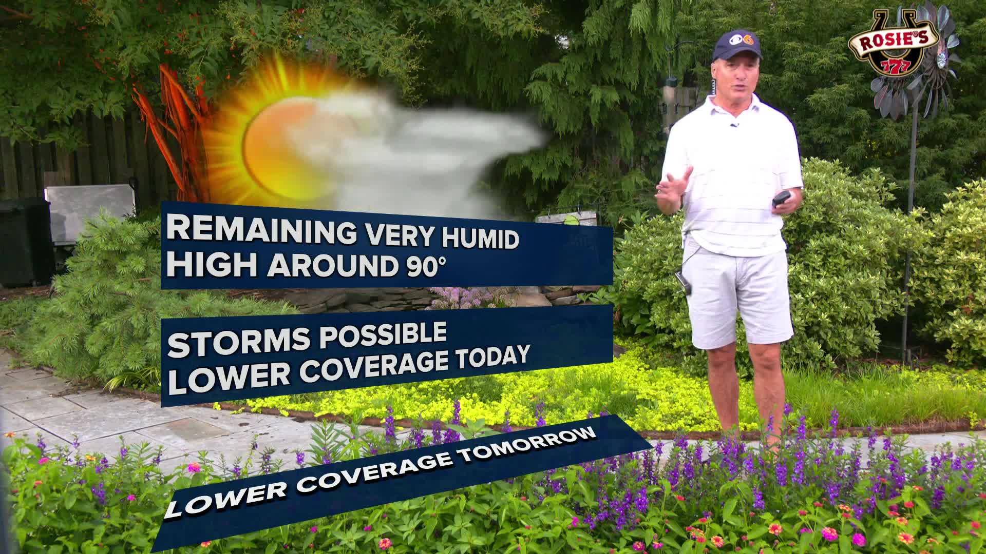
Temperatures across the region are expected to reach a high of 88 on Tuesday.
The main concern isn't temperature but rather the high dew points in the low to mid-70s, which will persist through at least Thursday and likely Friday.
Stay With CBS 6, The Weather Authority.
STORM TRACKING LINKS:
Weather Alerts
Interactive Radar
Map Center
Hurricane Tracker
Closings & Delays

Local News
'Significant flooding' strands drivers across Central Virginia
📱 Download the CBS 6 Weather App for iPhone and Android.


