


RICHMOND, Va. -- Tuesday will feature a milder afternoon with highs in the low to mid 40s. Increasing clouds by evening ahead of our next system. This will be a good day to clear any icy spots before more cold returns.
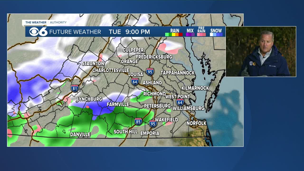
It will be mostly cloudy Tuesday night with a chance of light rain/snow developing into early Wednesday. Accumulations look light to none.
A few flurries or snow showers will be possible again mainly southern Virginia Wednesday afternoon.
The rest of the week will be partly cloudy and seasonably cold. Highs mid 30s to low 40s, lows in the 20s. Breezy at times.
Saturday and Sunday look mainly dry with mostly to partly sunny skies, still cold with highs in the mid 30s in the afternoons.
Stay With CBS 6, The Weather Authority.
STORM TRACKING LINKS:
Weather Alerts
Closings & Delays
Interactive Radar
Map Center
📱 Download the new and improved CBS 6 Weather App for iPhone and Android.
Closings | Interactive Radar | Weather Alerts
iPhone News App | Android News App
iPhone Weather App | Android Weather App
Depend on the CBS 6 Weather Authority to keep you ahead of the storm. Watch CBS 6 News and stay with WTVR.com for complete coverage of this winter blast.


