


RICHMOND, Va. -- Skies will stay mainly cloudy overnight, and some freezing fog is possible. Lows will mostly be in the 20s.
Sunday will be variably to mostly cloudy, with highs in the mid 40s.
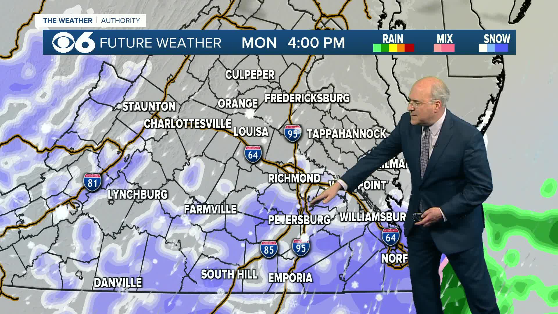
A cold front will move through the region, and a disturbance aloft could bring a period of light snow on Monday, especially south of Richmond. At this time, little or no accumulation is expected. However, we'll be watching this rather closely. Monday will be cold and breezy with highs in the mid 30s, and lows Monday night will dip into the teens and low 20s.
Dry weather is expected for the middle of the week, with plenty of sunshine and highs around 40 Tuesday, increasing clouds and highs in the low 50s on Wednesday.
Thursday will stay relatively mild, with a shower or two possible later in the day. The next front passing through will bring some showers Thursday night that might transition to a mix in some places early Friday morning.
At this time, it appears next weekend will begin dry and chilly.
Stay With CBS 6, The Weather Authority.
STORM TRACKING LINKS:
Weather Alerts
Interactive Radar
Map Center
Closings & Delays
📱 Download the new and improved CBS 6 Weather App for iPhone and Android.


