


RICHMOND, Va. -- A storm system will spread snow into the region overnight into Friday morning. Some accumulation will occur by daybreak, with snow continuing in the morning.
A winter weather advisory is in effect for the entire CBS 6 viewing area, and it now includes areas near the coast. It goes into effect after midnight tonight, and lasts through Friday.
WATCH NOW: Live look at radar, current conditions across Virginia
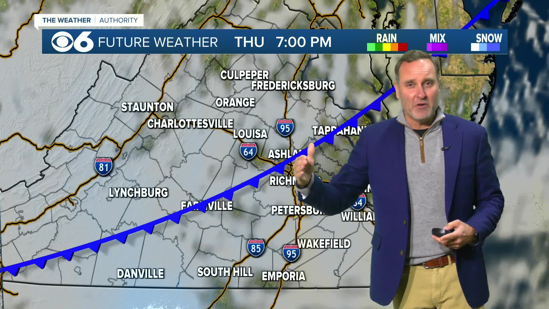
PHOTOS: Hour-by-hour look at snow in Virginia on Friday
The main batch of snow will taper off during the mid to late morning. Some scattered flurries and snow showers will be possible into early afternoon. Final snowfall accumulations for many areas will fall in the 1 to 3 inch range, but some localized 4 inch totals are possible.
As the snow ends, there may be a period of fog with some light rain or some freezing drizzle during the afternoon, and this could put a light glaze of ice on top of the snow.
Highs Friday will be in the low to mid 30s, with many areas staying near or below freezing much of the day.

Weather News
Hour-by-hour look at snow in Virginia on Friday
Saturday will be mostly cloudy and chilly. Temperatures for the Dominion Energy Christmas Parade Saturday morning will be in the 30s, and winds will be fairly light. Afternoon highs will be in the low to mid 40s.
Sunday will have intervals of clouds and sunshine with highs in the mid to upper 40s.
A weak system could bring a few rain or snow showers Sunday night, but nothing significant is expected.
Monday will be cold with highs in the 30s, and lows Monday night into the teens and lower 20s.
Highs will warm back to around 50 by Thursday.
Stay With CBS 6, The Weather Authority.
STORM TRACKING LINKS:
Weather Alerts
Interactive Radar
Map Center
Hurricane Tracker
Closings & Delays
📱 Download the new and improved CBS 6 Weather App for iPhone and Android.


