

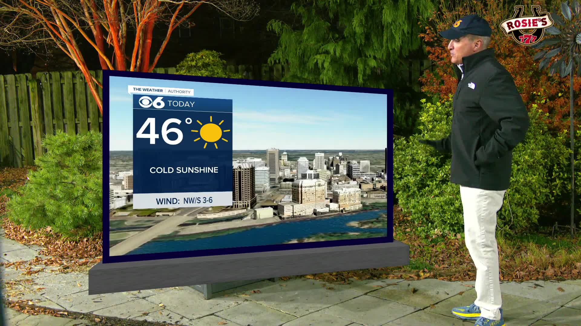

RICHMOND, Va. -- Plenty of cold sunshine today will only be enough to warm us into the mid 40s. Tonight will be mostly clear with a low in the mid and upper 20s.
Thursday will be partly cloudy and dry, and temperatures in some areas could break above 50 degrees by afternoon.
A round of wintry weather looks likely on Friday. The precip will be an overrunning event as a warm-air advection pattern (broad lift) develops over the cold and dry modified Arctic air in place over Virginia Friday.
The precip should begin as light snow, but could transition to light rain or freezing rain before ending. Total liquid equivalent looks to be around 0.10" to 0.25", so again, snow/ice totals will be minor, an inch or two will be possible. The ground has cooled from our recent cold snap, and untreated roads could become slick Friday afternoon into Friday evening (exact timing TBD). The surface air temp will struggle to get to 32 degrees throughout the day.
Models are doing what they do, waffling back and forth, but are showing more of a consensus on positions and strengths of the cold air and lift. One of several things to watch for is a southern track that keeps most of the precip over NC and far southern VA.
Cold and dry weather is expected for the Dominion Energy Christmas Parade Saturday morning.
Stay With CBS 6, The Weather Authority.
STORM TRACKING LINKS:
Weather Alerts
Interactive Radar
Map Center
Hurricane Tracker
Closings & Delays
📱 Download the new and improved CBS 6 Weather App for iPhone and Android.


