


RICHMOND, Va. -- Coastal Flood Alerts remain in effect for parts of eastern Virginia.
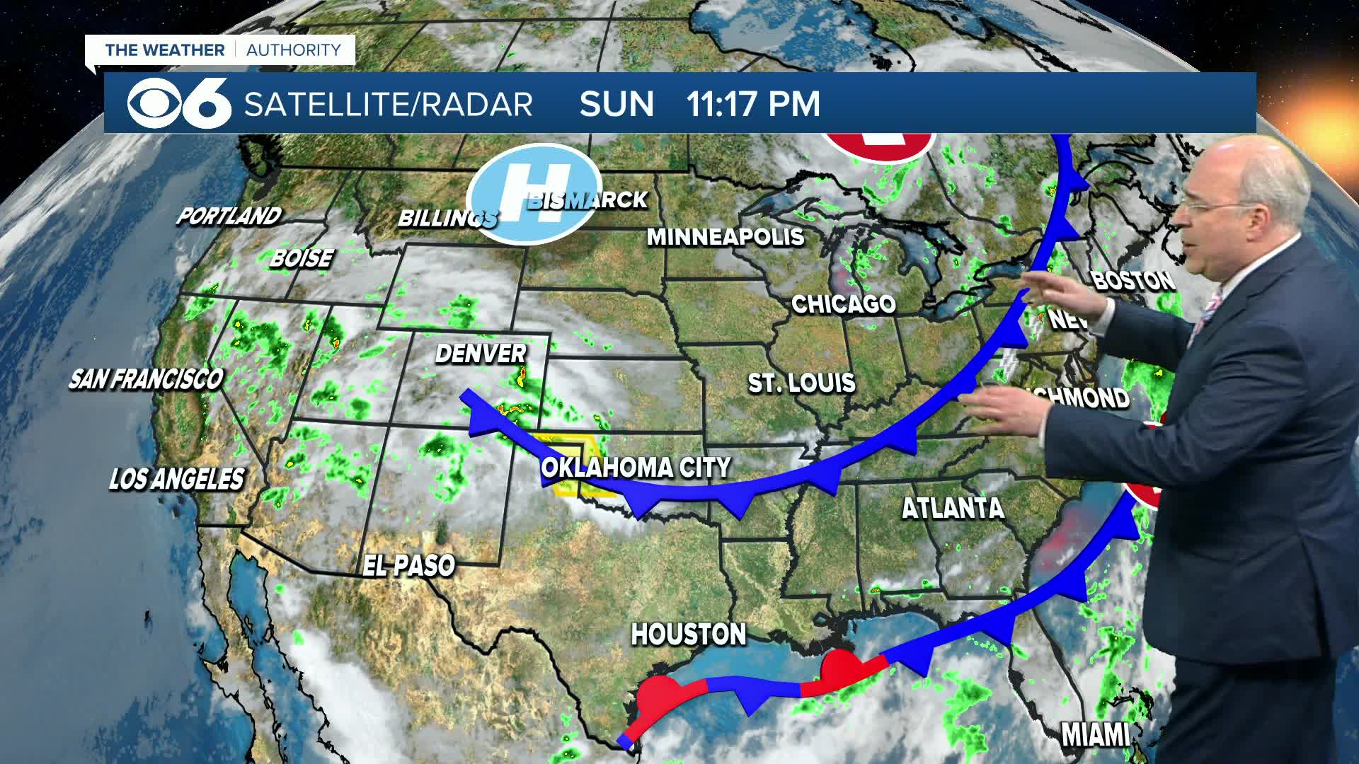
A cold front will move east of us during the early Monday morning. Skies will range from partly to mostly sunny during the day. Less humid air will filter in during the day, with highs ranging from the low 80s northwest to the upper 80s southeast.
Pleasant temperatures and comfortable humidity levels are expected through the rest of the week. Highs will range from the mid 70s to the low 80s, with overnight lows in the 50s to around 60. A few rural spots to the northwest could see readings in the upper 40s to around 50 around daybreak during the second half of the week.
In the tropics, Tropical Storm Fernand will continuing tracking east and then northeast of Bermuda. It may strengthen a bit, but ultimately will become a post-tropical system by midweek. Another tropical wave approaching the Windward Islands continues to show little signs of development, as it moves westward into the Caribbean conditions will become less favorable.
More information is in the CBS 6 Hurricane Tracker.
Stay With CBS 6, The Weather Authority.
STORM TRACKING LINKS:
Weather Alerts
Interactive Radar
Map Center
Hurricane Tracker
Closings & Delays
📱 Download the new and improved CBS 6 Weather App for iPhone and Android.


