


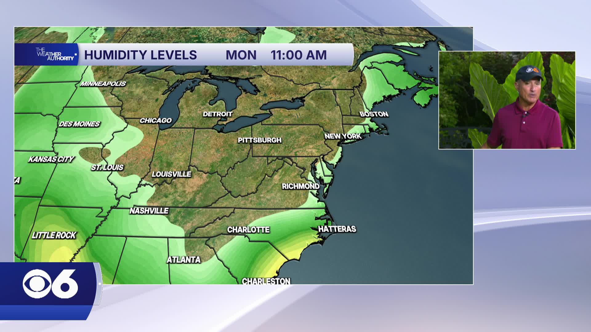

RICHMOND, Va. -- Monday will be sunny with comfortable humidity. Highs will be in the mid to upper 80s. Tonight will be mostly clear and cooler with a low in the lower 60s.
Temperatures Monday night into Tuesday morning will likely be the coolest since late June. Lows will be in the upper 50s and lower 60s for the metro, with some low to mid 50s to the northwest.
Mostly sunny skies will continue on Tuesday with highs in the low to mid 80s.
It will turn more humid for the rest of the week.
An isolated storm is possible Wednesday, with a better chance of showers and storms on Thursday. A few storms are still possible on Friday.
Highs for the middle and end of the week will be 85-90°.
Tropics: A tropical wave is located southeast of Bermuda. It shows a moderate sign of development, and it will track to the north, staying east of Bermuda.
A stronger tropical wave will emerge off Africa this week, and it has a moderate chance of development as well as it moves westward through the eastern and central Atlantic. The National Hurricane Center will continue to monitor. We are now approaching what is typically the most active part of hurricane season climatologically,
Stay With CBS 6, The Weather Authority.
WATCH: Map shows rainfall totals across Virginia Saturday; some spots near Chesapeake Bay saw flooding
STORM TRACKING LINKS:
Weather Alerts
Closings & Delays
Interactive Radar
Map Center
CBS 6 Hurricane Tracker
📱 Download the new and improved CBS 6 Weather App for iPhone and Android.


