


RICHMOND, Va. -- Coastal Flood Alerts remain in effect for eastern Virginia into Sunday. Skies will be partly cloudy overnight, with lows in the low and mid 60s.
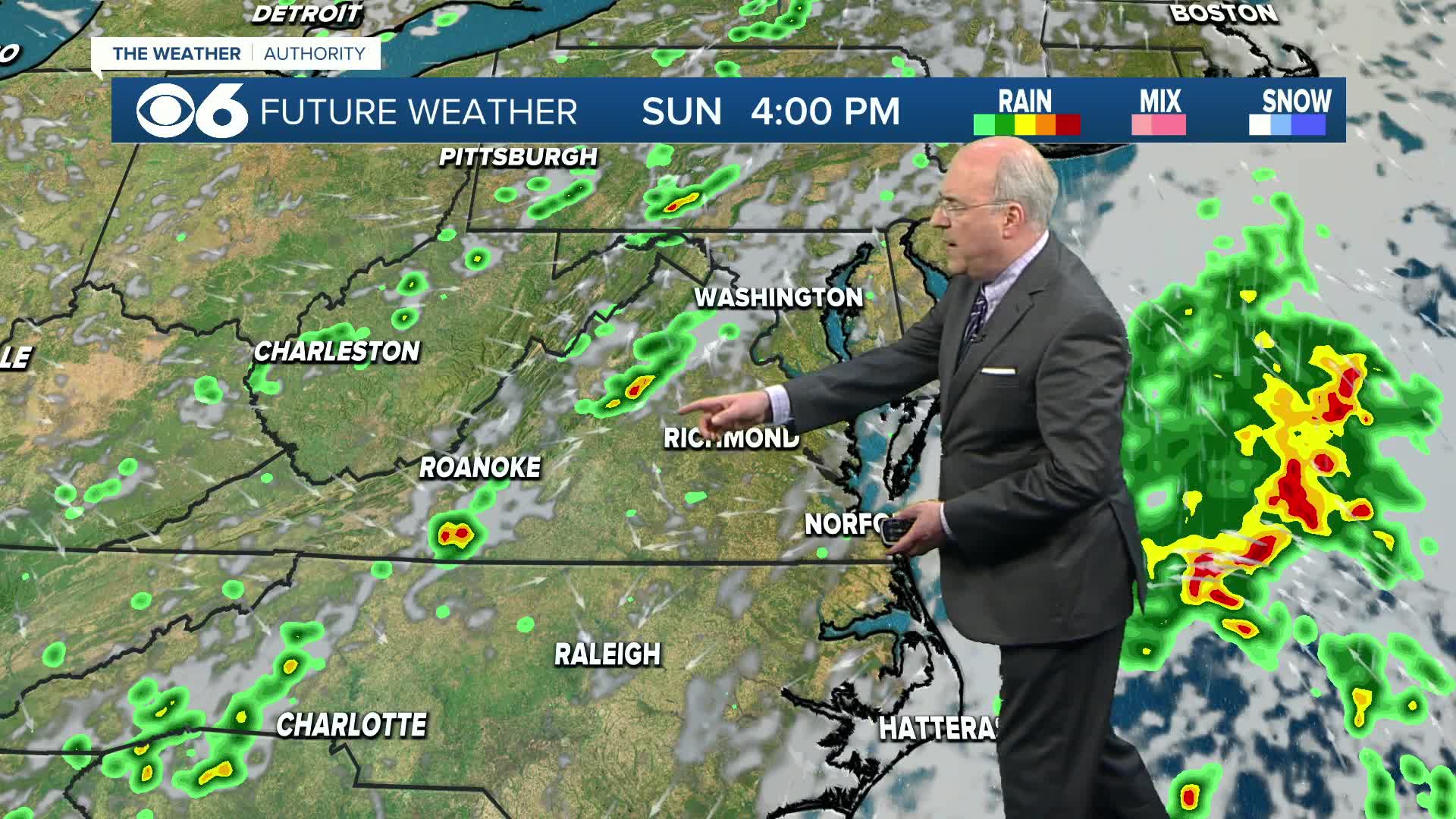
Sunday will be a bit more humid with variable cloudiness. An area of low pressure off the Mid-Atlantic coast will spread some clouds and possibly a shower into southeastern Virginia. A cold front approaching from the west will trigger a few scattered showers and storms in the mountains. A few of these will wander east towards the metro area later in the day. Highs will average in the mid 80s.
The cold front will move east of us Monday morning. Skies will be partly to mostly sunny in the afternoon. A sprinkle is possible near the coast. It will turn less humid with highs in the mid 80s.
The rest of the week will be pleasant with low levels of humidity. Skies will be partly to mostly sunny. Highs will range from the mid 70s to the low 80s, with overnight lows in the 50s to around 60. A few rural spots to the northwest could even see a few readings as low as the upper 40s to around 50 during the second half of the week.
In the tropics, Tropical Storm Fernand is the newest storm in the Atlantic, located about 400 miles south-southeast of Bermuda. Fernand is expected to track east of Bermuda Sunday and Sunday night. Another tropical wave in the central Atlantic has some potential for development as it moves westward over the next few days.
Stay With CBS 6, The Weather Authority.
STORM TRACKING LINKS:
Weather Alerts
Interactive Radar
Map Center
Hurricane Tracker
Closings & Delays
📱 Download the new and improved CBS 6 Weather App for iPhone and Android.


