


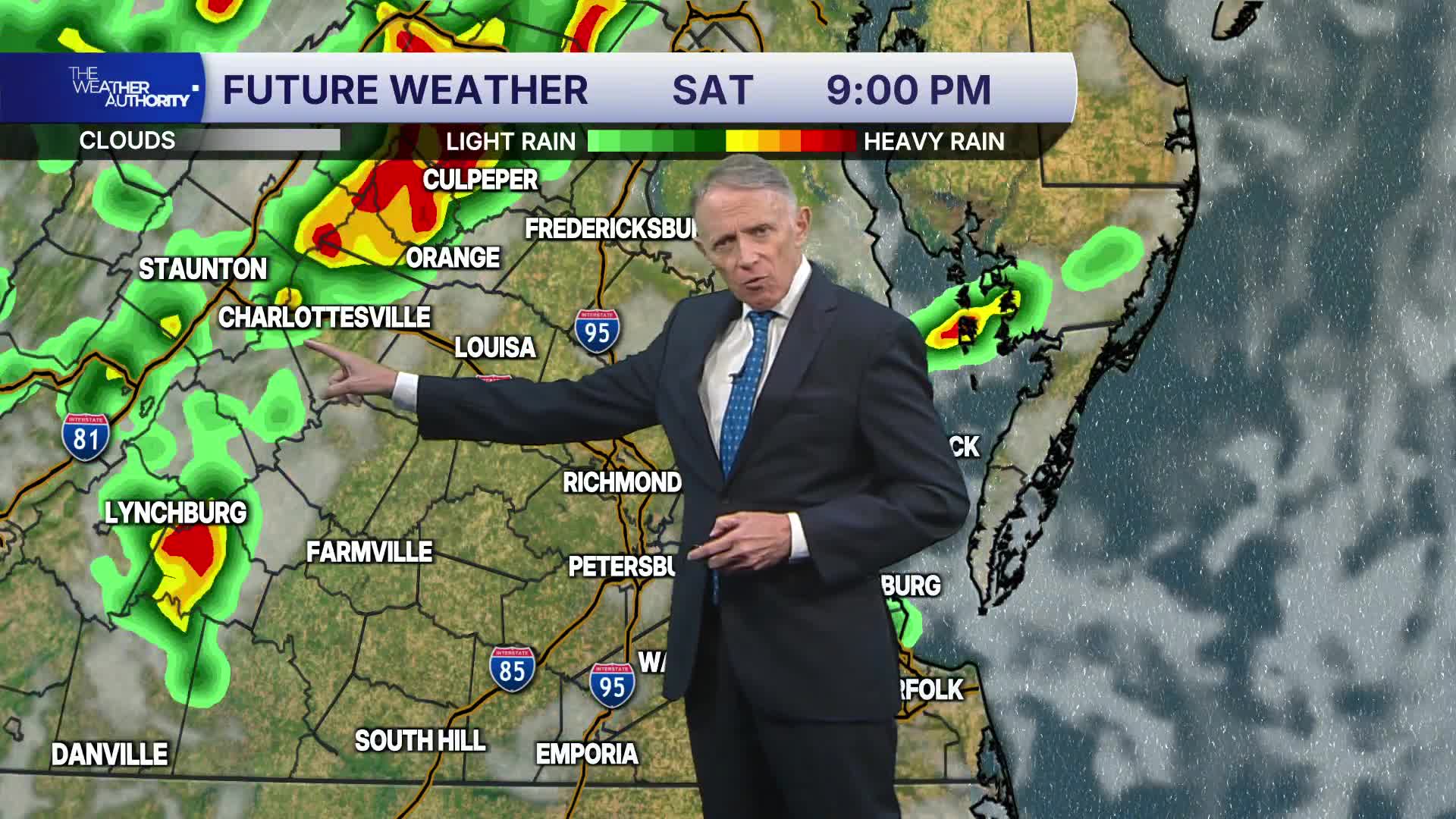

RICHMOND, Va. -- A cold front will push across the mountains tonight, with scattered showers and a storm possible this evening and overnight.
With decent amounts of water in the air above, localized heavy rainfall could occur with any showers and storms, and poor-drainage flooding remains a possibility. Showers should be isolated, but the chance will remain until the front moves east before sunrise Sunday,
With dew points and humidity staying high, areas of fog will be possible as well tonight into early Sunday morning. Lows will be 65-70° for the metro, with low to mid 60s far northwest.
Sunday will be mostly sunny after some early clouds and fog, with highs in the mid to upper 80s. It will turn less humid as the day wears on. An isolated shower is possible near the Bay.
WATCH NOW: Live look at radar, current conditions across Virginia
Monday and Tuesday will bring much more comfortable levels of humidity for summer. Highs will be in the low to mid 80s. Morning lows will be in the low to mid 60s in many areas, but 50s will occur in our coolest outlying areas. It will be a refreshing break overall.
It will then turn more humid and unsettled for the middle and end of the week with the next good chance for showers and storms Thursday.
Tropics: Some areas over the central and eastern Atlantic are being watched by the National Hurricane Center (NHC), and they are forecasting low to moderate (20-40%) chances of tropical development in the next 7 days, with highest chances with an area over the far eastern Atlantic.
Stay With CBS 6, The Weather Authority.
STORM TRACKING LINKS:
Weather Alerts
Closings & Delays
Interactive Radar
Map Center
CBS 6 Hurricane Tracker
📱 Download the new and improved CBS 6 Weather App for iPhone and Android.


