


RICHMOND, Va. — Coastal Flood Warnings are in effect until 6 a.m. Saturday for all of eastern Virginia. Water levels will be 1 to 3 feet above normal during high tide cycles.
Lows tonight into Saturday morning will be in the upper 50s and lower 60s.
Saturday will have sunshine with more clouds mixing in later in the day. Highs will be in the low to mid 80s.
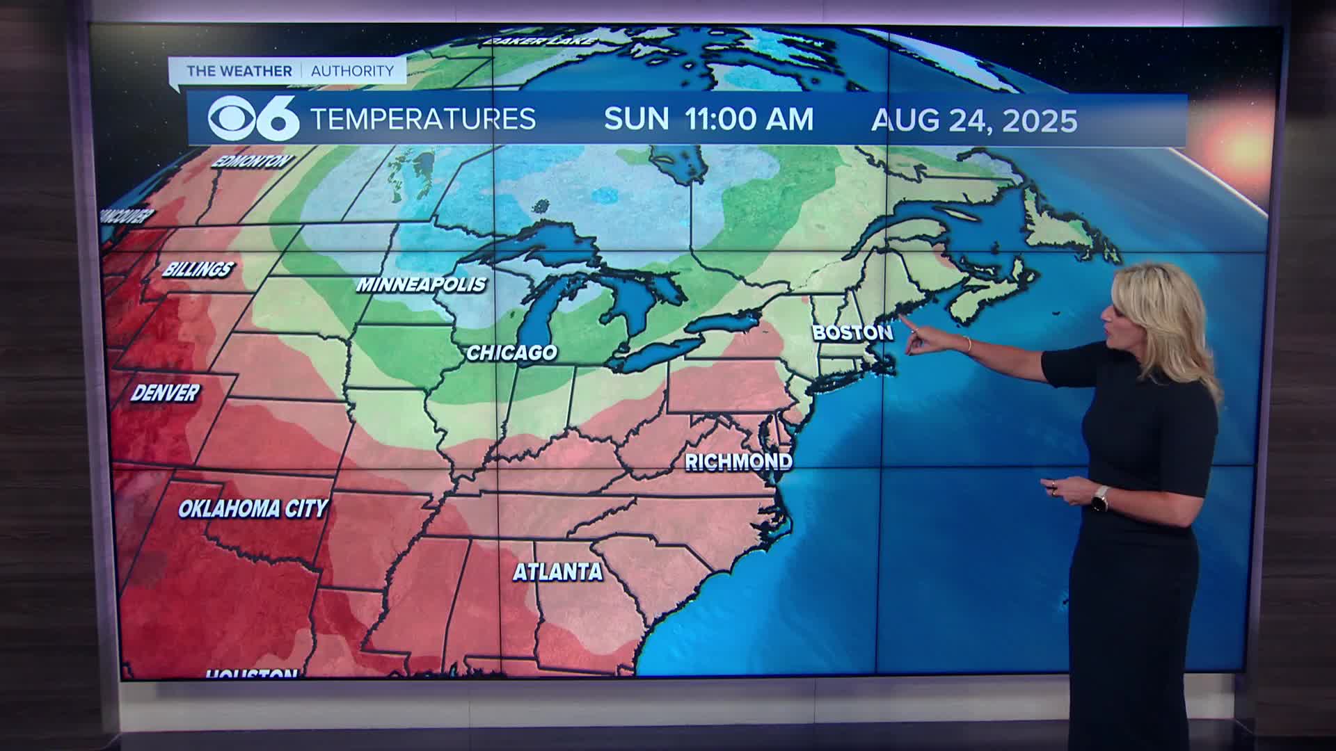
Sunday will be humid with variable cloudiness. An area of low pressure off the Mid-Atlantic coast will spread some clouds and possibly a shower into southeastern Virginia. A cold front approaching from the west will cause scattered showers and storms in the mountains. A few isolated storms are possible in the metro later in the day. Highs will range from the lower to upper 80s.
The cold front will pass early Monday, keeping the slight chance of shower in the area. Humidity levels will drop during the day. Highs will be in the mid to upper 80s.
It will be very comfortable Tuesday through late next week. Skies will be partly to mostly sunny with low humidity levels. Highs will range from the mid 70s to lower 80s, and overnight lows will be in the 50s to lower 60s.
Tropics: What remains of Erin will track into the northern Atlantic, just west of the United Kingdom over the coming week.
A strong tropical wave is located northeast of Puerto Rico. This shows high signs of development, and it will track towards Bermuda. If it strengthens into a tropical storm, it will be called Fernand.
A tropical wave in the central Atlantic shows medium signs of development. It will track westward towards the Lesser Antilles and Caribbean. It will be named Gabrielle if it develops into a tropical storm.
Stay With CBS 6, The Weather Authority.
STORM TRACKING LINKS:
Weather Alerts
Interactive Radar
Map Center
Hurricane Tracker
Closings & Delays
📱 Download the new and improved CBS 6 Weather App for iPhone and Android.


