



RICHMOND, Va. -- Rain and storms will increase across the region late this evening and overnight. Rain chances will be highest south of I-64. A few storms could have some strong gusts, and there is a marginal risk (level 1 out of 5) for severe storms in far southern Virginia, closer to the North Carolina border.
Lows tonight will be 65-70°. Rainfall could exceed an inch in some locations, and localized flooding is possible.
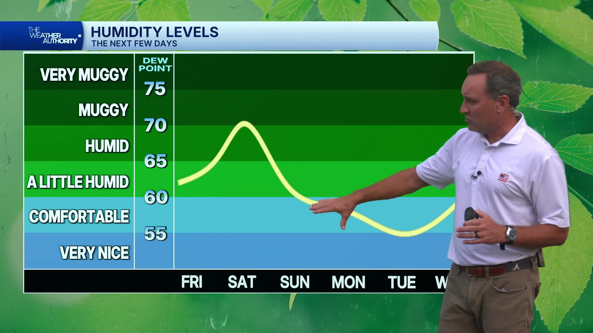
Saturday will be mostly cloudy and muggy with some showers and storms around at times. Rain chances will be highest in the morning, with higher chances shifting east of I-95 in the afternoon. Localized heavy rainfall is possible. It will be cooler with highs in the upper 70s and lower 80s. Another round of showers and storms will be possible Saturday night.
Sunday will turn mostly sunny and less humid for most areas, but some clouds and the slight chance of a shower will linger in far eastern Virginia. Highs will be in the mid to upper 80s.
Monday will be less humid and mostly sunny.
Highs will be in the low to mid 80s Monday and Tuesday, with overnight lows in the low to mid 60s. Some 50s will be possible in our cooler outlying areas.
A few scattered storms are possible Wednesday. It will be more humid with highs in the upper 80s.
Scattered storms will become likely on Thursday with highs in the low to mid 80s.
A weak disturbance southeast of Bermuda has a low chance of tropical cyclone development as it drifts northwest over the next few days.
Stay With CBS 6, The Weather Authority.
STORM TRACKING LINKS:
Weather Alerts
Closings & Delays
Interactive Radar
Map Center
CBS 6 Hurricane Tracker
📱 Download the new and improved CBS 6 Weather App for iPhone and Android.


