


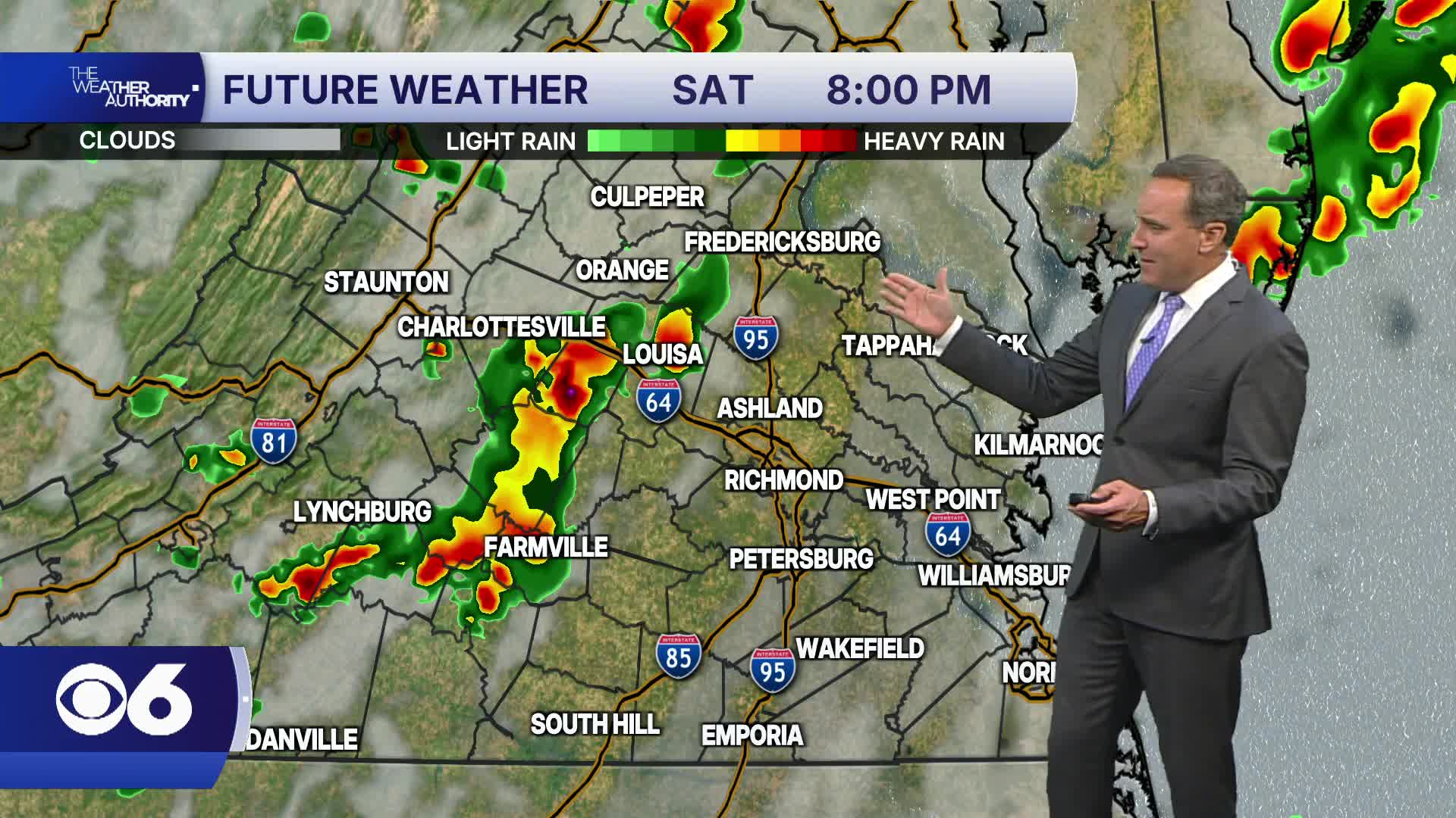

RICHMOND, Va. -- Showers and storms have ended and quiet weather is expected overnight. A cold front will continue to slow down as it moves through southern Virginia through early morning.
The cold front will stall to our south, keeping the chances for showers and storms around on Friday. Rain chances will be higher across southern Virginia, and rain chances will be highest in the evening. It will be cooler with highs in the upper 70s and lower 80s.
A period of heavy rainfall is possible Friday night until around daybreak Saturday. A few scattered showers and storms are possible Saturday, mostly in the morning. Highs will be in the low to mid 80s.
It will turn less humid Sunday into Monday and Tuesday with highs in the 80s.
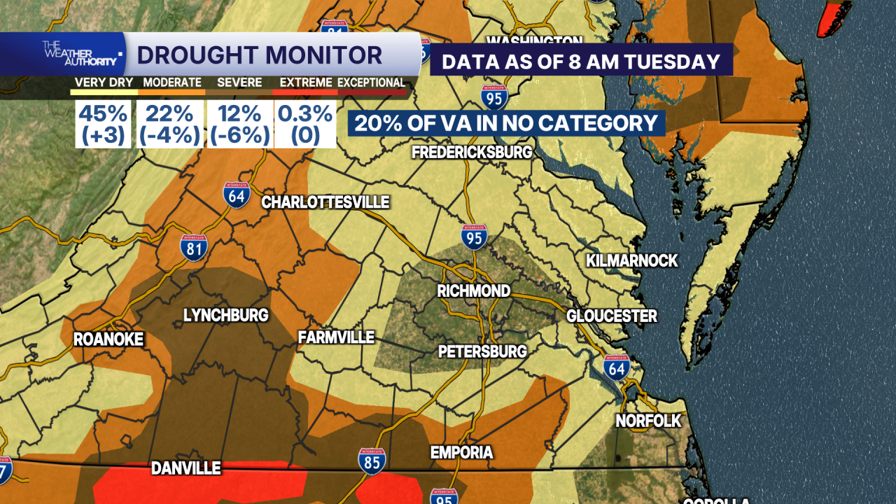
The updated drought monitor shows the moderate and severe drought categories have decreased by a combined 10%. Some of this was absorbed into the "very dry" category.
Around 20%, or one-fifth of Virginia, is now in no drought category. This includes a large section of the Richmond metro area.
A tiny sliver of extreme drought remains near the North Carolina border around Danville.
Stay With CBS 6, The Weather Authority.
STORM TRACKING LINKS:
Weather Alerts
Closings & Delays
Interactive Radar
Map Center
CBS 6 Hurricane Tracker
📱 Download the new and improved CBS 6 Weather App for iPhone and Android.


