

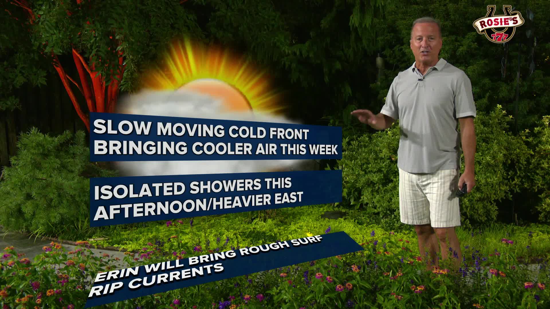

RICHMOND, Va. -- A cold front will stall just south of Central Virginia on Monday, keeping shower/storm chances in play. Heavy rain will be possible in some showers/storms east and southeast of Richmond. Some flooding is possible in those areas. Temperatures will be a little cooler, with highs in the low to mid 80s, though it will remain quite humid. Some areas north of RVA may not get out of the 70s Monday.
That front will stick around through midweek, followed by another cold front Thursday that will eventually stall and fizzle out to the south, so isolated shower chances will exist each day the rest of the week. Temperatures will range in the low to mid 80s much of the week.
More widespread thunderstorm chances will increase towards next Sunday. Rain chances along coastal Virginia could increase significantly from outer rain bands from Hurricane Erin, particularly Wednesday and Thursday.
WATCH: Hurricane Erin storm track update for Sunday p.m.
With respect to Hurricane Erin, it is forecast to continue moving on a northwestward track today, to the east of the Bahamas. It will then turn to the north, and then northeast Tuesday through Thursday, moving between the East Coast and Bermuda.
It will remain a major hurricane (category 3 or higher) though some weakening is forecast into the middle and end of the week. and some fluctuations in wind speeds will continue.
Impacts to the Mid Atlantic will be potentially significant along all coastal areas, with high waves and strong rip currents mid-week. Moderate coastal flooding (due to wind direction and wave heights) will be possible, in addition to beach erosion.
Those increasing and dangerous rip currents will affect all coastal areas of the Carolinas to Virginia and Maryland this week.
There could also be strong gusty winds (possibly to 40+mph) along coastal areas Wednesday and Thursday. Even though the storm will be far offshore, its impacts at the coast will be felt.
More information can be found in the CBS 6 Hurricane Tracker.

Stay With CBS 6, The Weather Authority.
STORM TRACKING LINKS:
Weather Alerts
Interactive Radar
Map Center
Hurricane Tracker
Closings & Delays
📱 Download the new and improved CBS 6 Weather App for iPhone and Android.


