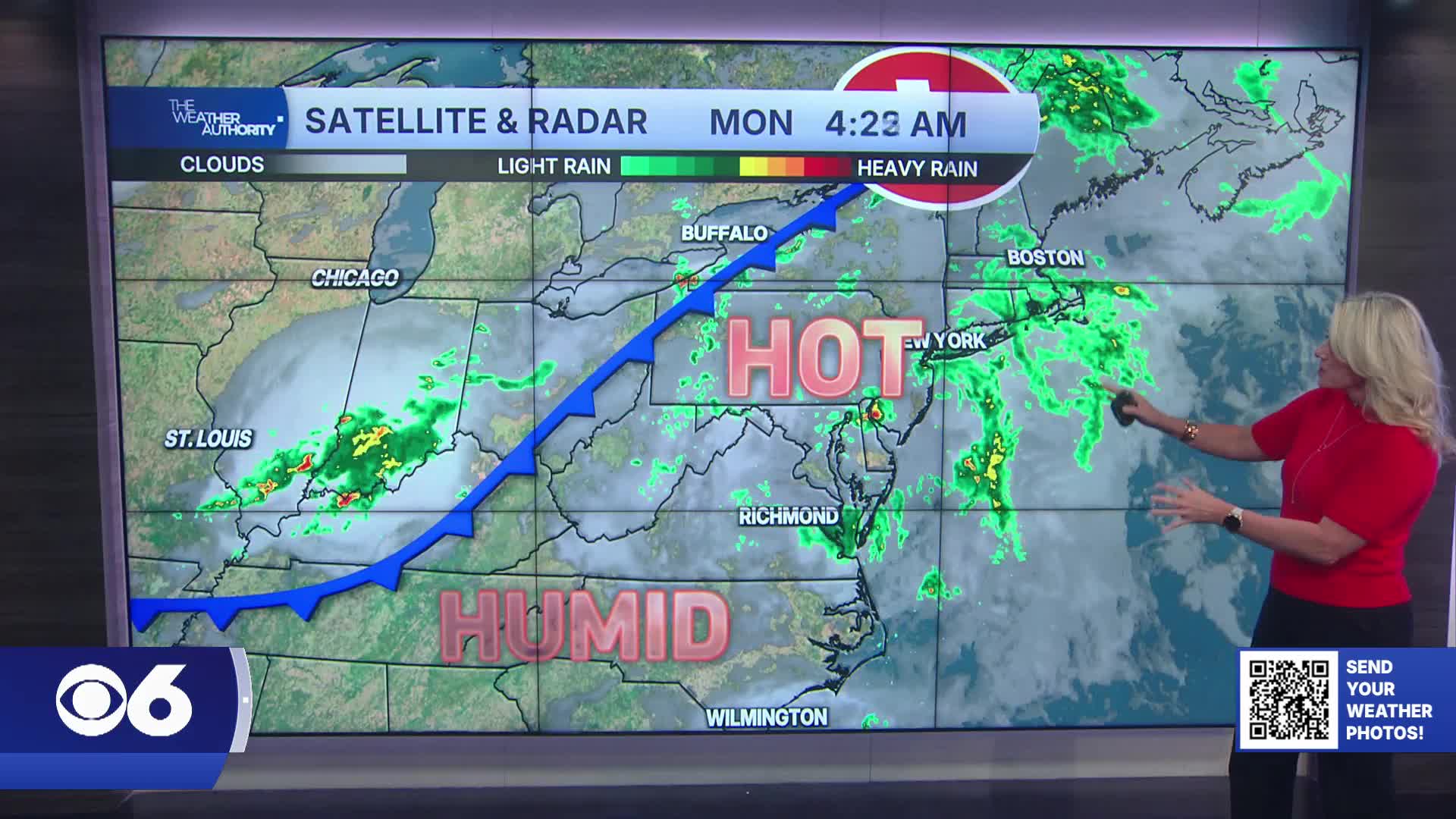

RICHMOND, Va. -- Monday will be hot and humid with highs in the low to mid 90s and heat index values topping 100° across much of Central Virginia.
A few scattered showers and storms are expected late this afternoon into the evening ahead of an approaching cold front.
Some storms could produce heavy rainfall, gusty winds and small hail, especially west and southwest of Richmond.
Tuesday will bring a brief break from the humidity with drier air and highs in the upper 80s.
Wednesday stays mostly dry and warm with highs near 90 degrees.
Shower and storm chances return Thursday afternoon as another cold front slowly approaches the region.
It will turn hot and muggy again with highs in the low 90s. The front is expected to stall nearby Friday into the weekend, keeping scattered showers and storms in the forecast at times.
Temperatures will trend cooler with highs settling into the low to mid 80s by Saturday and Sunday.
Stay With CBS 6, The Weather Authority.
STORM TRACKING LINKS:
Weather Alerts
Closings & Delays
Interactive Radar
Map Center
CBS 6 Hurricane Tracker
📱 Download the new and improved CBS 6 Weather App for iPhone and Android.